Friday, November 03, 2006

Savannah, GA

Made it to Savannah on Thursday. Actually, we are anchored in Turner Creek 5 miles from the city. We will probably stay here for a week since Pam has to travel to Kiawah Island, SC for business next week.

Tomorrow (Sunday) is the full moon (Spring tide) and the tides are certainly much higher (and lower) than the norm. High tide is 10' above MLW and low tide is 1' below MLW. This means that the total tide range is 11'. Got to be careful where we anchor...

Photo: High tide at our anchorage


Photo: Low tide 6 hours later

Wednesday, November 01, 2006

Charleston and South to Beaufort, SC


Yesterday was Halloween and we had no trick or treaters!! Guess we'll have to eat all this candy ourselves!

Photo: Sunrise over Ladies Island Bridge (Beaufort, SC)

Another glorious day on the Waterway. Temperature was 80 deg and not much wind. Cruised through the 'low country' of South Carolina, past Charleston and anchored off Beaufort, SC. This one is pronounced "Bew-furt" as compared to "Bo-furt" North Carolina. It is a very pretty town with a lot of history and ante-bellum houses. It has been used for many movie scenes (The Big Chill, Forest Gump, The Great Santini, Prince of Tides to name a few).
The 'low country' is aptly named...the ICW winds its way through marshland and spartina grass. With 9 ft tides, there is a lot of exposed mud at low tide. The herons and egrets come out for lunch then.

Tuesday, October 31, 2006

Carson's Halloween


When Carson was in the hospital last June he was entertained by a doctor doing a clown act. It made such an impression on him that he put together a similar outfit for Halloween. He did the entire costume himself. What an imagination!!

Monday, October 30, 2006

Black Monday (Goodbye DST)

Today is the first work day in Eastern Standard Time...sometimes known as "Black Monday" (by me!).

It really sucks to drive home from work in the dark...the days are much too short.


Photo: Pam & John leaving work

Waccamaw River


We transited the Waccamaw River today which is arguably one of the most beautiful parts of the Waterway. The water is black from the cypress trees and Spanish moss is hanging everywhere. We even saw an eagle surveying the scene from his high perch. The river goes "around" Myrtle Beach to the west (or actually to the north since Myrtle Beach faces south).

We had to stop at Wacca Wache Marina on the river to get a diver to check out our prop shaft. A few days ago we had snagged a shad net stretched across the ICW. The fishermen cut it loose but we think some of it is still wrapped around the shaft. Pam felt an abnormal vibration in the cockpit deck.

The photo clearly shows Pam's intuition was correct! The diver went under the boat at 6pm (dark) and the water was very black. He had a head light but it was still a scary thing.

Left in the morning with the net on deck for a souvenir. Continued down the Waccamaw towards Charleston, SC

Sunday, October 29, 2006

Cape Fear River; Myrtle Beach, SC

We left Wrightsville Beach bright and early Sunday on a gorgeous day. This year we caught the Cape Fear River at flood tide (against us). Observant bloggers may remember the sleigh ride we had do the river last year (11+ kts with the tide). The Lord giveth and the Lord taketh away....


Photo: This year: 4.2 kts Last year: 11.6 kts

We had planned on anchoring at a favorite place from last year (Calabash, NC) but there was no room at the inn. Ten other boats had beat us to it and there wasn't any deep water to drop anchor. So, we continued on and found a very nice marina in N. Myrtle Beach (Harbourgate Marina). They even had a web cam there so we call Carson and told him to log on so he could see us. Not sure he quite figured out the technology of the whole thing.
Photo: Compass Rose on Harbourgate Marina's web cam.


Photo: Actual view of us with Little River Swing Bridge in the background

Saturday, October 28, 2006

Wrightsville Beach, NC


Arrived at Wrighsville Beach, NC around 2pm on Friday. Tied up at Bridge Tender Marina right on the ICW. Kind of like pulling off to the shoulder on I-95. A very strong weather front is due to come through tonight so we wanted to be tied tightly to something hard.

Our friends, Mike and Cookie Ward live here and are just completing a new house. Last October when we came through, we got to see the plans for it. It is right on the ICW and is pretty awesome (see photo).

The storm came through and, although it rained very hard, it was over by the time we woke up. Saturday is bright and sunny. Had lunch with Mike and Cookie. Then we walked to the beach where the surfers were taking advantage of the storm surf. Daylight Savings ends tomorrow which means we either have to get up earlier or do less miles per day. Decisions, decisions!

Continuing South


The R.R. bridge in Washington, NC was fixed and finally opened at 1 pm. We departed the dock for a relatively short cruise down Pamlico Sound and the Neuse River. The winds and seas were both behind us making for a great trip.

Going through North Carolina, we encountered the annual perch fishing season opener. There were easily 100 small boats in a 1/4 mi area all casting lines. The picture doesn't begin to show the total number of boats there. Must have been a state holiday or no one went to work.


We were up early and departed Mile Hammock Bay at 6:30 am. The sunrise was spectacular!

Wednesday, October 25, 2006

Washington, NC (The Bridge)


The downtown waterfront in Washington, NC is located between a railroad swingbridge and highway swingbridge. Each has only a 7 ft clearance so obviously they need to be open for us to pass. Waking up on Tuesday morning, we noticed the RR bridge was closed. When a train comes, it closed for until it passes. Then it remains open to allow boats to go through.

Welllllll, the bridge remained closed all day! We found out that there was a broken gear and it could not be opened. Trapped between two bridges. Now, Washington is a nice little town but not exactly the place we had planned to spend the winter. Wednesday morning and the bridge is still closed. A call to the bridge operator revealed that a part was to arrive this morning and, with luck it should be re-opened by noon.

While waiting for the bridge to open, a salty old guy came on the dock to our boat. While talking to him we realized he was "Skipper Bob". He and his wife Elaine publishe a number of the ICW "bibles" which have proven invaluable to us. We had a nice chat about the condition of the Waterway.

Washington, NC


After leaving Albemarle Plantation and transiting the Alligator/Pungo Canal, we took a side trip up the Pamlico River to Washington, NC. This is the first city to be named after George Washington (named in 1776). At the city waterfront docks, we again ran into Tom and Phyllis Davenport on Cocoon. Ken and Janet Carpenter (Magic Dragon) came by the dock to greet us. They live here in Washington and loaned us their pickup for the day. Craig and Pam Mudge (Moonstar) also stopped by to say hello. Who knew all these Krogenites live here?!

Cecil B. DeMille was born and raised in Washington, NC.

Washington is an old town (obviously) and the downtown is undergoing a renaissance. Still has a ways to go... this weekend they hold the "Smoke on the Water" festival complete with hot air balloons and street music.

The second night we went to Carpenter's riverfront home for dinner. The Davenport's and Loving's consumed some wine and had a delicious barbecued shrimp and chicken dinner. We had a wonderful time there.

Photo: Our host, Ken Carpenter with his barbecue.

Photo: Tom & Phyllis chowing down

Monday, October 23, 2006

Alligator/Pungo Canal

The Alligator/Pungo Canal is a 22 mile cut connecting the Alligator River and the Pungo River (clever name, eh?).

It is heavily used by commercial barge traffic. While transiting it we came head on with a tugboat pushing the barge in the pictures.
We could see this barge coming from a distance of 5 mi and could not figure out what it was. After contacting the tug captain, we found out that it was the new draw bridge for the Woodrow Wilson Bridge. It was the sixth barge load of steel for it. The steel was made in Palatka, FL and came of the ICW and ultimately the Potomac River.

Sunday, October 22, 2006

Albemarle Plantation, NC


We finally pried ourselves away from Edenton! A short two hour trip took us over to Albemarle Plantation where we met long-time friends Joe and Sandy Easterwood. The Plantation was also having their Fall Festival with over 450 people attending at an outdoor dinner and dance. The food was great and the band even better!

We drove around the Plantation and saw their lot and a number of new homes under construction. All in all, a very nice and friendly community with golf course, pool, equestrian center and more.

Saturday, October 21, 2006

Edenton, NC


Billed as the "The South's Prettiest Small Town", Edenton certainly lives up to it! We have been here since Tuesday and are finding it difficult to leave. It was originally incorporated in 1715 as the "Towne on Queen Anne's Creek". The town marina is free for the first two days and then only $1/ft after that. This town has hundreds of houses and buildings that were built pre-Revolution and/or pre-Civil War. Check out their website for more historical information.

We ran into John and Robyn Sams who own Liberty Call, a Krogen 42 the same age as ours. They have lived in Edenton for the past 14 years. Robyn owns an art studio/store downtown and they live above it. The building was built in 1880 and their 'house' has the original brick walls, ceiling and wood floors.

Last night we went to Accoustic Coffee, an eclectic coffee shop in town. They had a bluegrass band "Diamond Shoals", who were fantastic. No cover, no minimum. All in all, we really like this town.

Our friends Joe and Sandy Easterwood from VA met us here last night. We had dinner on the boat and then took and evening stroll around town. We are meeting them at the Albemarle Plantation a few miles from here. They own property there and are starting the process of selecting a builder.

Photo: Edenton, NC town marina

Monday, October 16, 2006

Leaving the Chesapeake & Norfolk, VA


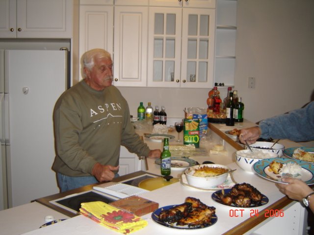
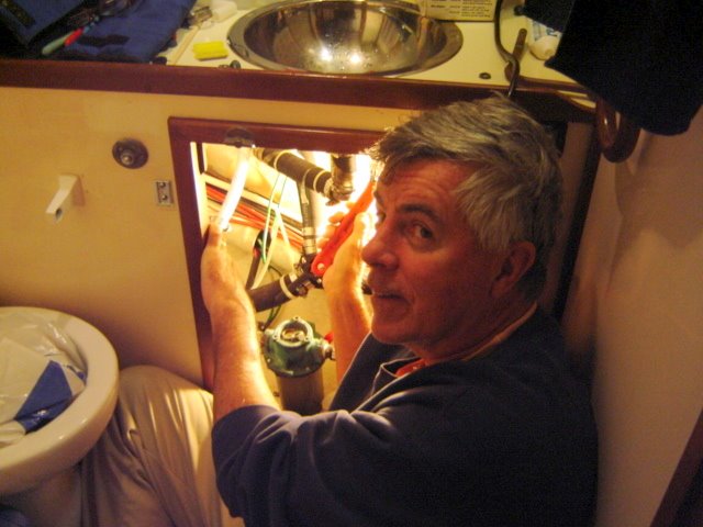
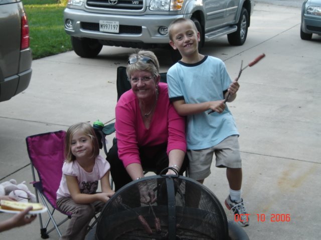
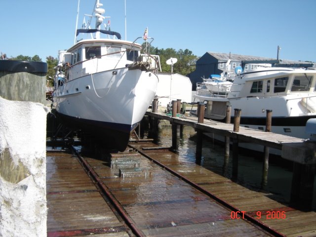
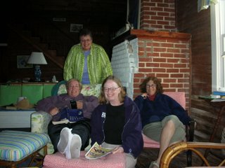
We left Solomons on Saturday, October 14th. We were preparing to leave at 9 am but Pam discovered a leak under the sink in the head. John made a quick trip to Ace Hardware and after a quick fix we were on our way by 11:10 am.

Both Saturday and Sunday were picture-perfect, crisp fall days. The Bay was glassy smooth and we were able to average almost 8 kts (must be the new bottom paint!).

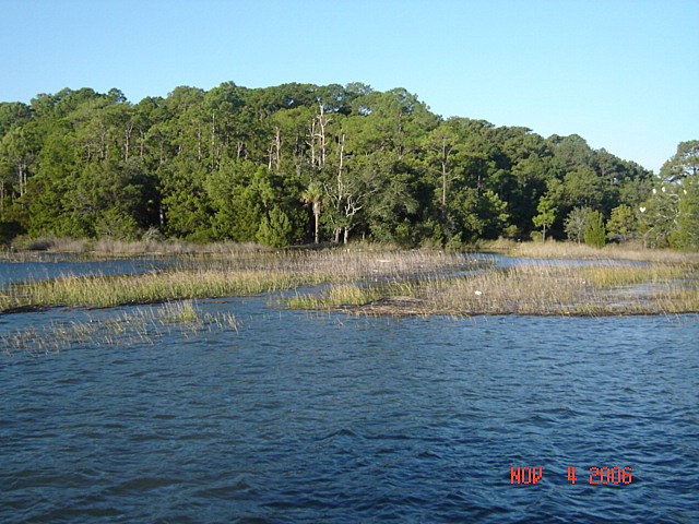
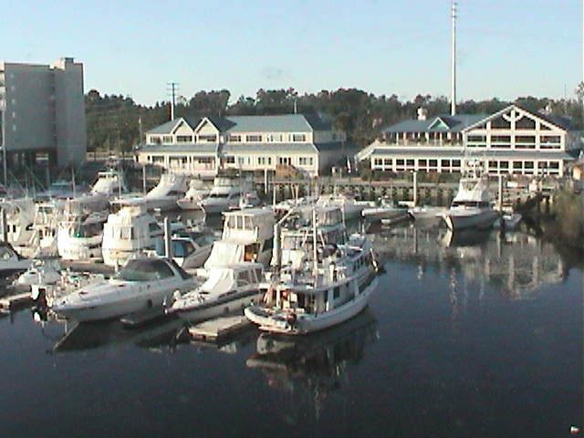
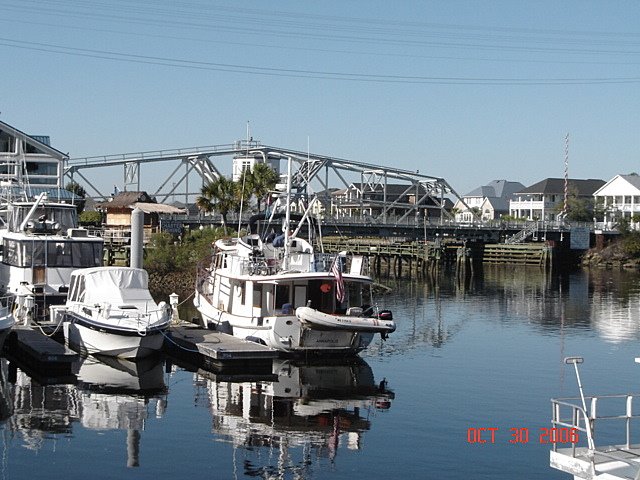
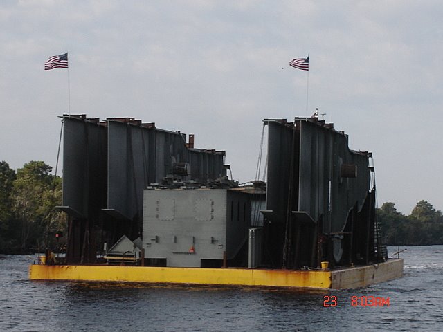
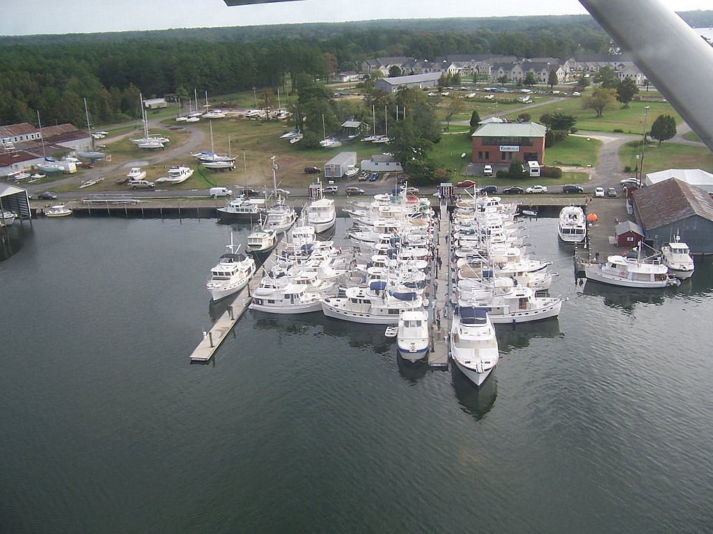
We stopped at Antipoison Creek on Virginia's Northern Neck the first night. Legend (or rumor) has it that the indians used the mud from the creek to cure Capt. John Smith's stingray wound (hence the "antipoison"). Next day was a carbon copy of Saturday and we arrived in Norfolk that afternoon. After a quick stop at Bluewater Yacht Center in Hampton for fuel ($2.30/gal), we continued into Norfolk. We anchored at Hospital Point which is at Mile Zero on the ICW. Only 1,245 nm to go!

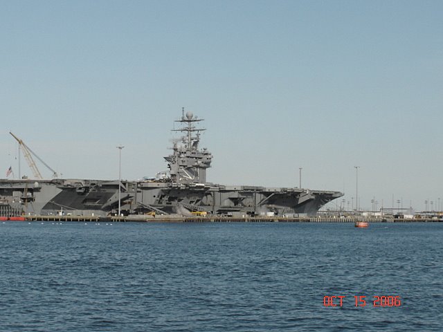
There was only one carrier inport Norfolk (USS Theodore Roosevelt) which is a big contrast to last fall's trip. Must be a war going on...

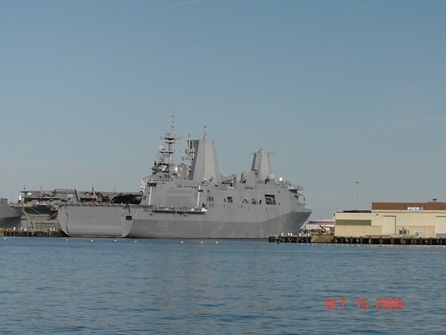
Navy ships have changed a lot since I was last on them. Pictured is the USS San Antonio, the first in the class of new ships to carry and support a complete Marine air/ground task force. It can support four MV-22 Osprey aircraft, numerous air cushioned vehicles (LCAC) and armored assault vehicles. All the radar antennae, etc are completely enclosed which gives the ship a 'stealth' appearance.

Preparing to Head South


After living on Compass Rose in Annapolis harbor for ten days, we were invited to dock our boat at Bob & Gail Higgenbotham's off Whitehall Creek. What an idyllic setting! It was also very convenient to have the boat at a dock while we made the final preparations for heading south.

Saturday, October 14, 2006

S'mores


After the Rendezvous, we had Compass Rose hauled out of the water to have the bottom painted. We spent the next four nights at Kim's house. Pam had two Title & Registration seminars to give during the week so we rented a car for John to drive down to Solomons and back.

While at Kim's, we had a S'mores party for Carson and Cameron. All the neighborhood kids showed up when they saw the fire.

Krogen Rendezvous Solomons, MD

Here we go again!!

Compass Rose departed Annapolis on October 3rd for our second trip down the ICW and ultimately Marathon, FL.

Solomons, MD is again the site of the annual Chesapeake Fall Rendezvous and again Pam and John are the coordinators.

This year's attendance broke all records with over 135 people attending and 45 Krogen's in the marina!! Of course, it was windy and rainy just like last year! But, everyone went with the 'flow' and had a wonderful time.

We then had the boat hauled for bottom painting and commuted back and forth from Kim's house.

Thursday, May 25, 2006

Blue Angel Airshow

Photo: Navy's Blue Angels flying down the Severn River. Posted by Picasa

Monday, May 15, 2006

Annapolis, Maryland


We first sighted Thomas Point lighthouse at 2:30pm 5 miles in the distance. Now we knew we were getting close to Annapolis! Passed by the lighthouse at 3:45p. We saw the Chesapeake Bay Bridge ten miles away at 3:05pm. What great sights!!

After covering 75 miles, Compass Rose hooked on to a mooring ball in Annapolis harbor at 4:30p Sunday.

Caught a taxi for Mothers' Day dinner at Kim's.

Sunday, May 14, 2006

"Speeding" North

After a delightful three days in the OBX, we departed at 7:30am and crossed Albemarle Sound towards the Virginia Cut route. We are anxiouis to get home by Sunday (Mothers' Day) so we kept going until dark. We tied up to a free dock just south of the Great Bridge Lock.

The next day (Sat) we departed the dock just as the Great Bridge bridge opened at 6am. Continued up through Norfolk and the many bridges there. Much better to travel through there on a weekend when there are less rush hour restrictions. Entered the Chesapeake Bay at 9:10am and rode the tide up to the Potomac River. We covered 101 nm this day, a new record.

Departed the Potomac (Smith Creek) at 7am into a very rough river. The wind was blowing 15-20 from the east and the tide was running out. The seas were easily 5-6 ft. Things calmed down after rounding Pt Lookout.

Midway up the Bay, we noticed a large 'blip' on the radar behind us; looking out the read window we say the USNS Comfort no more than 1/4 mi away. We imediately turned hard starboard. Not sure what he had in mind....

Photo: USNS Comfort close abeam

Friday, May 12, 2006

The Outer Banks of N.C.

Pulled into Pirate's Cove Marina in Manteo, NC right on time (1630). Sally was there to meet us. After tieing up the boat, we went to the beach house on Nag's Head she was renting. This is your typical old (1920's) house with wrap around porch and wood storm shutters. Wooden floors that creak but indoor plumbing. Sally was staying there with her friends Lex, Mary and Roxanne. Photo: The house and our hosts in Nag's Head

We planned on spending two days enjoying the Outer Banks. However, an approaching weather systems 'forced' us to stay an extra day. Drove down to Cape Hatteras and saw the lighthouse (from a distance). Photo: Sally and John


Photo: J & P chilling out in Nag's Head

The Outer Banks of Duck, Nag's Head and Kill Devil Hills have done a magnificent job of managing the growth and building on the beach. There are no high rise buildings and very few motels. The large houses are all reminicent of the Delaware and Jersey shore in the 50's.

Photo: Wright Brothers Memorial

Monday, May 08, 2006

Wrightsville, NC and Onward

Since we 'lost' four days due to the side trip to Pensacola, we decided to put as many miles under the keel each day as possible. We won't stop at Beaufort, NC.

John's sister Sally (the pretty one!) has rented a house on the beach in Nags Head, NC with three other friends and we plan on spending a day or two with them. The plan is to do 65-75 mi a day and arrive at Manteo, NC on Tuesday.

Photo: Ominous sign approaching Camp Lejeune, NC on the ICW.

Saturday, May 06, 2006

Pensacola, FL and Back

Drove to the funeral in Pensacola, FL. Took a day and a half to drive the 830 miles. We drove past many of the places we had passed on the ICW (Beaufort, SC; Savannah, GA; Hilton Head, SC; Jacksonville, FL). Thought we had left Florida for good! (Just when you think you're out, they pull you back...).

It was great seeing all of the family and friends, even under these circumstances. Left Pensacola at 3 pm Friday and drove straight through to Carolina Beach, arriving at 3:30am. Long drive....

Used the rental car to run errands and go shopping on Saturday and left the marina around 2pm. Only went 10 mi and dropped anchor at Wrightsville Beach, NC. Same place we stopped last year...didn't get off the boat though.

Wednesday, May 03, 2006

Things We Didn't See on the ICW

Some photos of things we passed while driving but missed on the ICW. Taken at South of the Border


Monday, May 01, 2006

Carolina Beach, NC

Transited the Cape Fear River up towards Wilmington, NC on an outgoing tide. Loyal bloggers may remember our trip down the river last November when we were doing 12.2 kts with the tide. Timing is everything....this time we were doing just 5.9 kts "up hill".

Pam has been awaiting news of the passing of her Aunt Miriam for the past ten days. Miriam passed away this morning in her sleep. We have put the boat in Oceana Marina in Carolina Beach, NC and rented a car for the drive to Pensacola. After Friday's funeral we will drive back and continue north on Sunday.

Miriam was 90 years old and lived a full and wonderful life. She has four children, eight grandchildren and six great grandchildren. We will miss her and her playful spirit.

Photo: Miriam and her immediate family. We all gathered at her 90th birthday celebration in August 2005.

Another Compass Rose!!


A number of times in the last few days we heard someone calling Compass Rose on the radio but no one was in sight. Finally, we figured out that there was another trawler with the same name. Last night we anchored near Calabash, NC and so did they!

As we continued along, this got pretty confusing to bridge tenders and other boats!