Monday, December 18, 2006

Christmas 2006 Letter

Merry Christmas To You All From Pam and John


We hope that your Holiday Season is filled with good health and happiness.

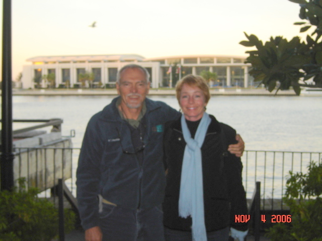
This year we celebrated another milestone. Pam turned sixty on September 19th! Cameron’s birthday is the day before so Pam shared her birthday celebration with her four year old granddaughter. Pam is still doing some contractual work for the Association.
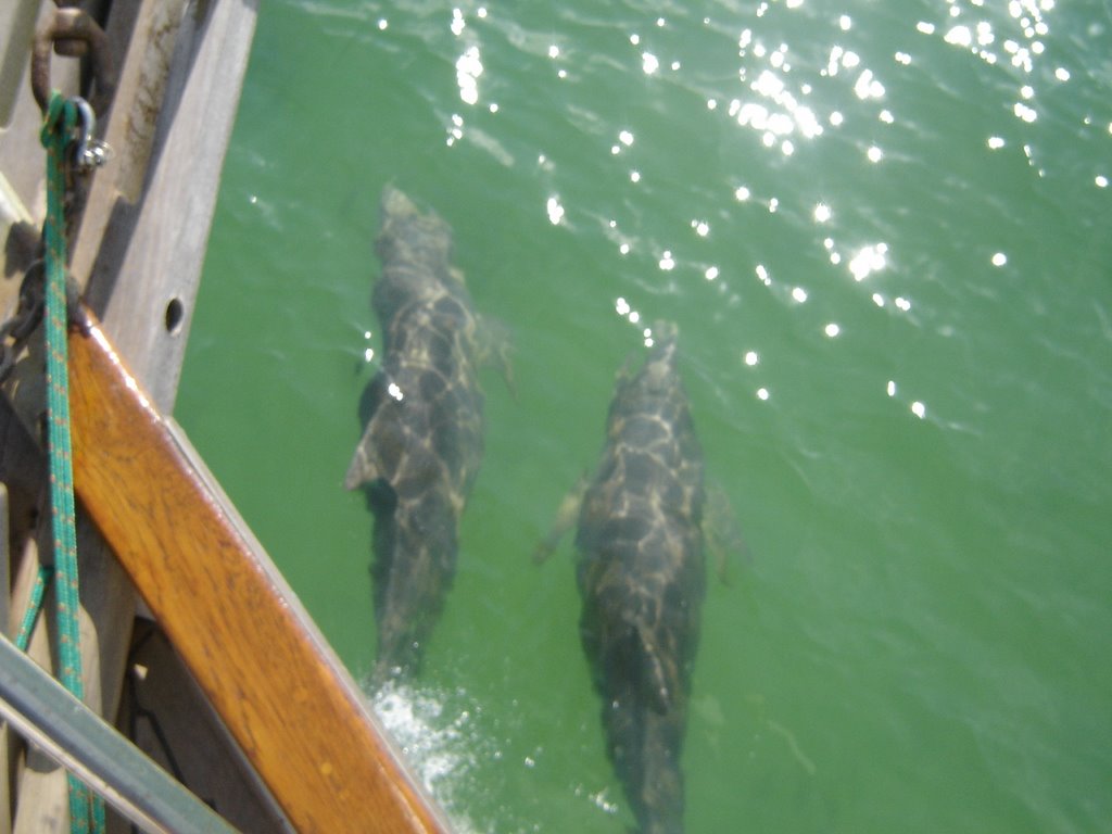
It is amazing how much you can accomplish while at sea. Cell phones and the Internet are wonderful.

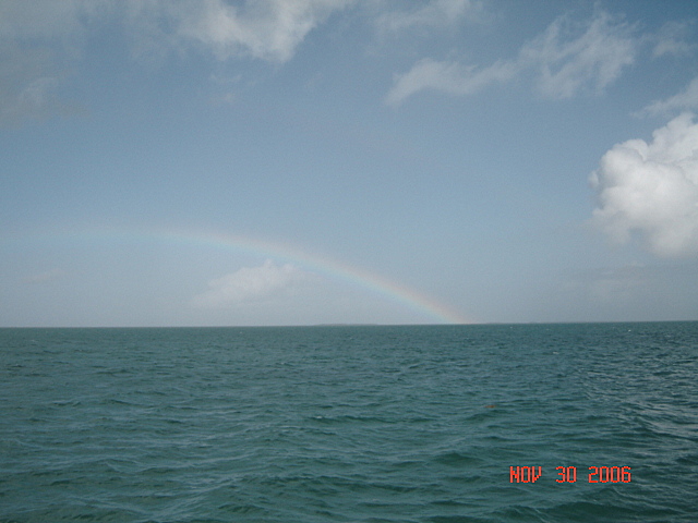
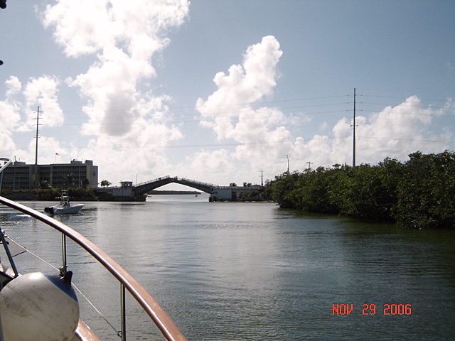
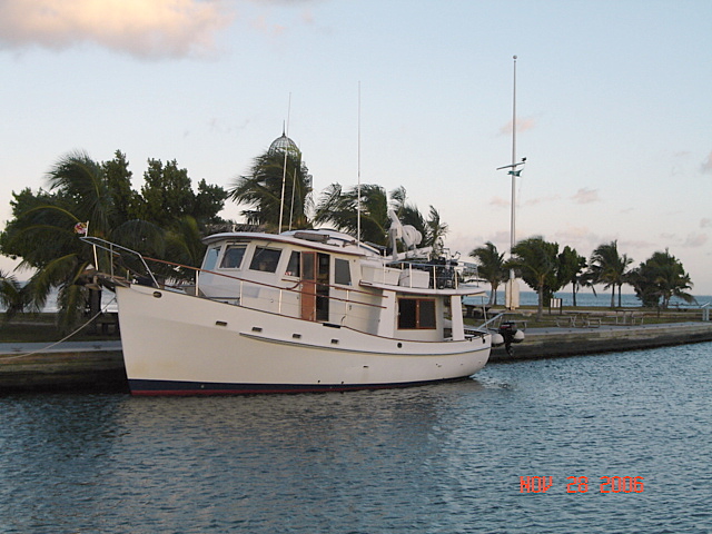
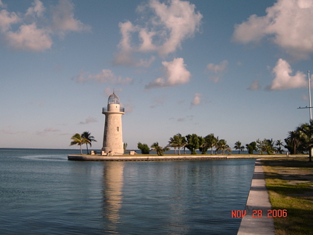
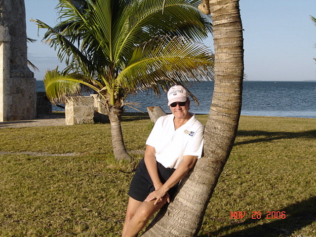
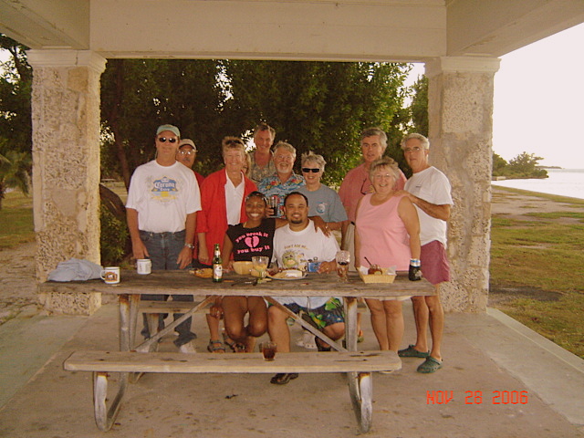
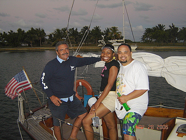
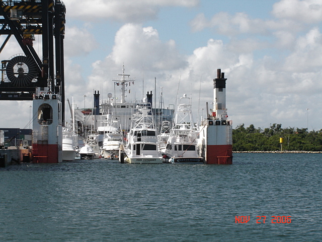
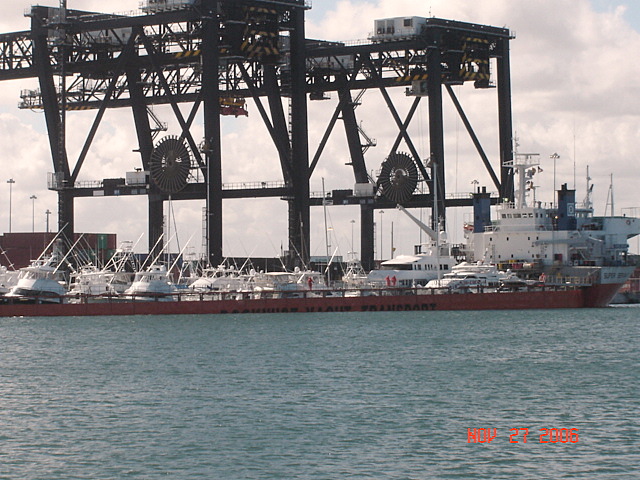
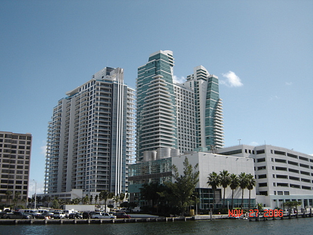
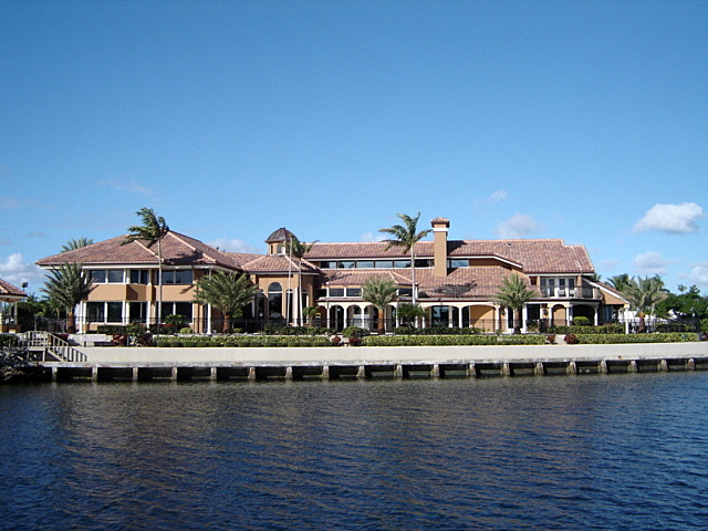
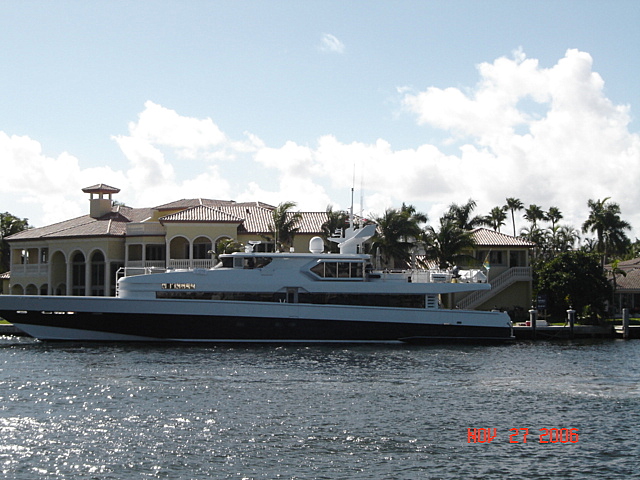
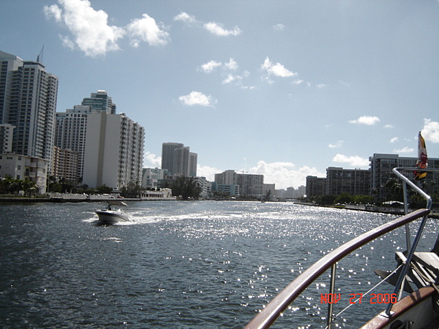
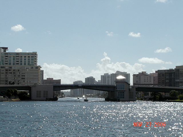
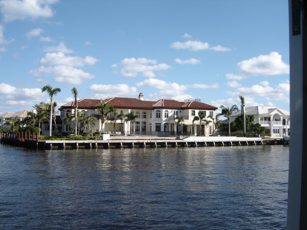
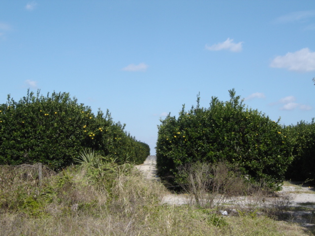
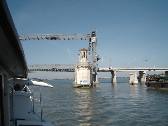
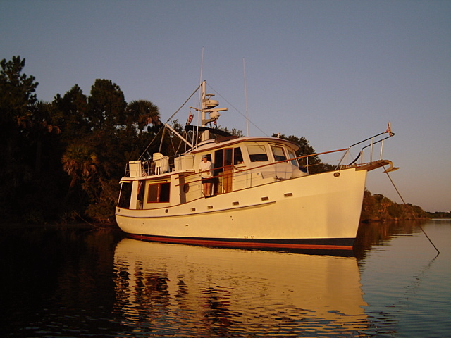
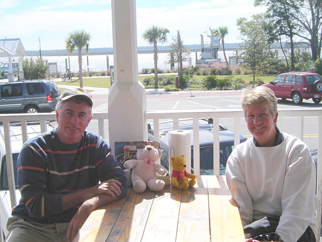
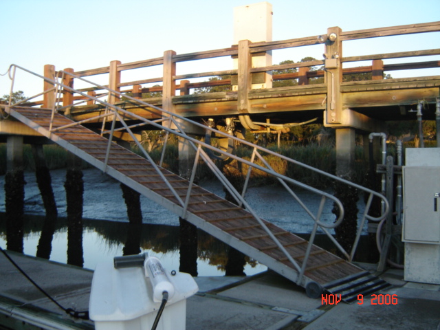
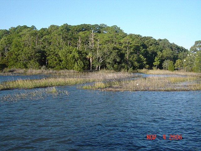
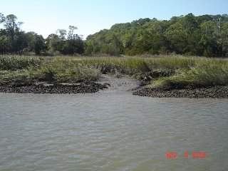
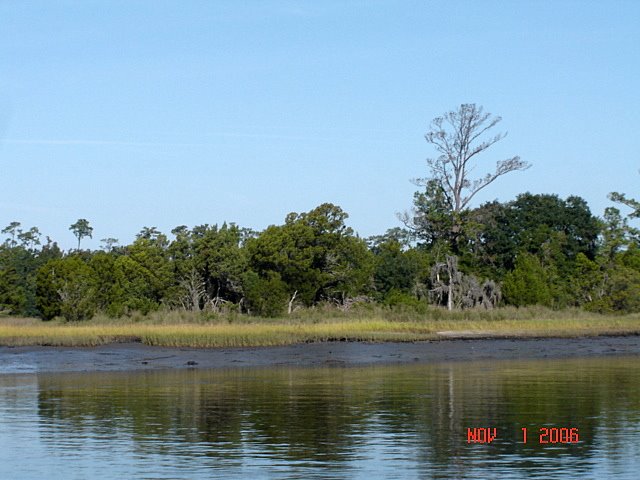
We have now been living aboard Compass Rose for 18 months. We spent this past summer in Annapolis as this allowed us to spend some time with the kids and grandchildren and cruise on Chesapeake Bay. In the second week of October we started our second cruise south and traveled the Atlantic Intercoastal Waterway for two months. We are now in Marathon in the Florida Keys until the middle of February when we plan to cross over to the Bahamas. The “plan” is to spend two months there and then be back in the Chesapeake by mid May.

Carson with his Lacrosse gear

Kim and Mike are as busy as ever with Carson (who will be seven in February) and Cameron. Carson is in the first grade and loves sports, especially Lacrosse and has earned many belts in karate. We had a real scare this past summer when he was hospitalized with bacterial pneumonia. He was in D.C. Children’s Hospital for 10 days. He is back to his old self again. Amazing how they bounce back.


John & Cameron

Our “Little Princess” Cameron is attending pre-school three days a week and keeps everyone on their toes. She is quite the little talker. She had her adenoids removed in December. She came out of the operation talking up a storm. What a trooper she was.


Kim and Mike have their hands full but they are great parents. Kim spends what spare time she has on the tennis court and Mike can be found on the golf course


Kim & Mike


Travis just completed his fifth year on the faculty at the Haverford School as Asst. Dean, Math Teacher and Lacrosse Coach. He was chosen the Teacher of the Year this past November. It is nice to see all his hard work recognized. He is very much at home in Philadelphia.

This Christmas will be a special time to celebrate our family’s gift of each other and the joy of being together. The whole family will all be together at Kim and Mike’s house again this year.

Hope all is well with you and your families. We wish you and yours a very Happy New Year. We pray for the many military families who are separated this holiday season and may we have peace on earth soon .

John & Pam

Compass Rose

3 Church Circle
PMB 146
Annapolis, MD 21401

John Cell (410) 913-9277
Pam Cell (410) 353-2912

Email: johnloving@yahoo.com
Email: pamcompassrose@yahoo.com

Friday, December 01, 2006

Marathon My Marathon


We made the 35 mi trip from Islamorada to Marathon taking the Florida Bay route rather than the Hawk Channel route in the Atlantic. The winds were 15-20 kts from the east which would have made for a very uncomfortable trip 'outside'. The Keys island chain provided a great wind barrier for the Bay route.

We hit the Seven Mile Bridge channel right at slack current (as planned) to minimize the current/opposing wind waves. It was a smooth ride through the bridge but as soon as we were on the Atlantic side the wind driven waves hit us smack in the face. Instead of turning directly towards Marathon, we had to continue east for 2 mi in order to 'tack' back and keep the 4-5 ft waves off our beam.

But we finally got to Marathon and tied up at the Cay Clubs at Marathon (new fancy name for the Marathon Marina) at 3:45pm. We are three slips down from the one we had last year; this gives us an even better view of the ocean to the west (yes, the ocean is southwest of us!). The sun sets directly off our stern.


Photo: Pam enjoying the view from the back of our boat.

Thursday, November 30, 2006

Islamorada

We anchored for the night off Islamorada just as we did last year. Pam was 'hot' to buy fishing gear and wanted to revisit 'Bonefish Bob's'. Alas, when we dingied to shore and walked to his store, it was boarded up. We discovered that Bob had died last spring and no one has reopened the store.

Not to be dissuaded, Pam trekked to the Islamorada Worldwide Sportsman and bought a fishing pole and tackle. Looks like we are going to eat a lot of fish this winter.

Ever wonder why tropical water is so blue? The water reflects the blue of the sky. Since tropical water is short on phytoplankton (microscopic plants) it is also short on green. With bright blue tropical skies and very little green plankton, tropical waters refledct only blue light.

The discussion of "Why is the sky blue, Daddy" will not be taken up on this blog.


Photo: a rainbow welcomes us to the Keys.

Wednesday, November 29, 2006

Entering the Keys


The unofficial demarcation line to the Keys is Jewfish Creek which separates the mainland from the many islands. US Route 1 to Key West crosses here.

Note: in these politically correct times the Jewfish was renamed the Goliath Grouper in 2001 by the Committee on Names of Fishes (I kid you not!).

Anyway, we passed through Jewfish Creek at 11:59am on November 29th to officially enter the Keys.
Photo: "Open Sesame!". The Jewfish Creek drawbridge opens the way to the Keys.

In case you were wondering...there are 882 islands or keys large enough to be shown on charts of the Florida Keys. Technically a key is an island covered with mangrove or pine. If an island is covered with oaks or pinelands in sawgrass, it is called a hummock. An island of cypress is a dome. Lignumvitae Key is the highest point in the Florida Keys at 18 ft above sea level.

Boca Chita Key

The run through Ft Lauderdale and Miami culminated at Boca Chita Key. This is now a Florida state park. In 1934, Mark Honeywell (Honeywell Heating Systems) purchased the island and built a house, lighthouse and chapel on it. He turned it over to the state in 1954. The island can't be more than 1/2 wide at any point. It does have a beautifully maintained circular harbor that can accommodate 25 boats.


Mike and Kay Jones on "Lowe Key" arrived a few hours after us. While there a 1966 38' sailboat arrived chartered by a newlywed couple, Jersi and Nakeesha. Capt Mike was their Captain. They stayed for about four hours and had happy Hour with us. There were also three other boats there so we had a nice gathering.

Photo: Compass Rose in Boca Chita.


Photo: The lighthouse


Photo: Pam holding up a palm tree.


Photo: View of Boca Chita from the lighthouse.


Photo: impromptu Happy Hour

Photo: The newlyweds and Capt Mike

Photo: sailing off into the sunset.

Monday, November 27, 2006

More Images of Ft Lauderdale

Ft Lauderdale bills itself as the "Yachting Capital of the World". Nothing we saw refutes that! The area has hundreds of canals that are lined with large yachts 'parallel parked'.

Port Everglades is also a major cruise ship and cargo ship port and is located just south of Ft Lauderdale. Here are a few more sights we saw as we made our way through this area.


Photo: Havabanana?!


Photo: This is the "Super Servant" and is used to transport ships and yachts across the ocean or up and down the coast. It works like a dry dock...the ship 'sinks' itself and the boats float in. Then it raises back up and off we go. Not sure if these yachts were coming or going.


Photo: high rise condos on Ft Lauderdale beach.

Ft Lauderdale and Miami


We transited both the Ft Lauderdale and Miami areas today and ended up in Boca Chica Key in Biscayne Bay. Weekdays are the only time to make this trip! There was absolutely no other boats out there which made for a very smooth trip. Last year we hit Miami on Sunday and, I swear, they had released all the crazies!

The opulence along the waterway is staggering. 5 million dollar boats parked in front of 10 million dollar houses. After awhile it is almost funny.


Photo: This is one house!


Photo: Both the boat and the house are for sale.


Photo: For reference, the "little" boat is a 53 ft Sea Ray.


Photo: Heading down the 'canyons' of Ft Lauderdale

Photo: One of the many drawbridges on the ICW in south Florida.

Sunday, November 26, 2006

Turquoise Waters


Finally left Vero Beach after a week...sounds familiar (see last year's blog!). Running south the water magically turns a beautiful turquoise. We were greeted by a family of dolphins playing along in our bow wave. Photo: two of the five dolphins we used as "pace fish".


These two days were spent in the 'canyons' of Jupiter, Lake Worth and Boca Raton. Houses and condos line the waterway with concrete sea walls that reverberate the waves back and forth. We went under 19 bridges just between the Stuart area and Boca Raton. Since we had lowered our mast to reduce our height to 15', we only had to have 4 bridges open for us. Tomorrow we get to do it again as we traverse the Ft Lauderdale area. Last year we went 'outside' and avoided this area but now the winds and seas are still too high.

Photo: houses along the ICW.


Friday, November 24, 2006

Hey, Sugar!!

We drove back from Naples via Floride Route 80 which goes across the southern shore of Lake Okeechobbee. Whereas the northern route featured orange groves and cattle, this route was all sugarcane. Everywhere we looked there were huge fields of sugar cane stretching to the horizon.

Photo: Fully grown Sugarcane fields as seen from the car.


Florida is the nation’s largest producer of sugar cane and cane sugar, providing more than 25% of the nation’s sugar supply. Florida’s sugar industry has a more than $2 billion dollar economic impact on the state’s economy and provides tens of thousands of jobs statewide. Florida sugar farmers produce approximately two million tons of raw and refined sugar annually.

The giant grass is grown on approximately 450,000 acres of rich farmland along the southern shores of Lake Okeechobee in Palm Beach, Hendry, Glades, Highlands, and Martin counties. There are six raw sugar mills and two sugar refineries in the Glades. More than 150 sugarcane-farming operations produce nearly 20 million tons of cane annually. Photo: Just planted sugarcane.

From a historical perspective, the Moors who invaded Spain in the 11th Century introduced the art of making sugar from sugarcane through a crystallization process. Later, Christopher Columbus brought sugarcane to the West Indies on his second voyage to the New World. In Florida, sugarcane first took root in Cape Canaveral, which is the Spanish word for cane field. No doubt remnants of the stalks’ ancient cultivation still lie beneath the Capes’ launching pads.


Present day sugar operations began in the late 1920’s when Southern Sugar Company first grew sugarcane in the Clewiston area before going into receivership in 1929. U.S. Sugar Corporation purchased that company and ground its first crop of sugar in 1931 at its present Clewiston mill. A second area mill at Okeelanta (now owned by Florida Crystals) followed in 1947, with the other local sugar mills beginning operations in the early 1960’s.
The planting of sugarcane, a tropical plant in the grass family, begins in late August and continues through February. A stalk of sugarcane is cut into several pieces for planting. A cane stalk has joints, similar to bamboo, which sprout and produce new cane plants. The crop takes 12-15 months to mature. Basking in Florida’s abundant sunshine, plentiful rainfall and rich soils, the cane stalk reaches heights of 10-12 feet.

The harvesting of the sugarcane crop begins in mid-October and continues through April. All Florida sugarcane is mechanically harvested. Fields are burned prior to harvest to eliminate extraneous leafy material. Sugarcane is usually delivered to the mill and processed within 24 hours of harvest. During the harvest season, Florida’s mills operate 24 hours a day, seven days a week.

Thursday, November 23, 2006

Happy Thanksgiving


HAPPY TURKEY DAY!!

We are spending Thanksgiving with John's Mom in Naples, FL (see previous post re: traffic gridlock). While the weather here is somewhat unseasonably cool (45 at night...68 during the day) it is bright and sunny. High 70's are coming over the weekend.
Photo: "Bear" and "Pooh" enjoy Thanksgiving dinner with John's mom.


Wednesday, November 22, 2006

There Is Plenty of Open Space in Florida

The "central" part of Florida is sure a lot different than either coast. It is flat as a table and covered with orange groves and grazing cattle. There is plenty of open space if you don't mind no beach, no ocean and no "there there".

Florida ranks 12th in the nation in the number of beef cows. Cattle were introduced into Florida in 1521 by Ponce de Leon. Who knew?!
It obviously ranks 1st in the country for orange and citrus production. Florida and Sao Paulo, Brazil account for 90% of the worldwide orange production.
Photo: Orange trees in central Florida.

The Left Coast is starting to look like the East Coast... massive building projects, high rise condos, grid locked traffic and skyrocketing real estate prices. Here come the Baby Boomers!

Sunday, November 19, 2006

A Change in Plans

We have no plan and we're sticking to it...

But, sometimes you gotta have an idea of a plan. The "plan" was to cross over to the west coast of Florida via Lake Okeechobee and the Caloosahatchee River and arrive in Naples for Thanksgiving with John's mother.

The weather is going to hell this week with winds forecast to be 25-30 kts and 5-7 ft seas in the Gulf of Mexico. Lake Okeechobee (which is only about 10 ft deep) will be extremely rough with seas in the 5 ft range and on the beam.

Soooo, the new "plan" is to leave Compass Rose here in Vero Beach, rent a car and drive over to Naples. We'll spend Wed-Fri there and then depart here on Saturday and head down the east coast towards the Keys. As they say, 'boating is an outdoor sport'...

Friday, November 17, 2006

Severe Storms


We anchored on Wednesday night next to the NASA Causeway in Titusville, FL. Winds had increased to 20-25 kts from the south so the causeway gave us some smooth water. The front came blowing through on Thursday with rain, high winds and thunderstorms. Apparently, this front did some serious damage in North Carolina and on up the east coast.


The next two days were more of the Indian River...a three mile wide body of water with an average depth of 3 ft! The 90 ft wide channel for the ICW is about 12 ft deep so you have to pay attention to the red/green markers.
Photo: Looks like someone ran over this Green marker.

We arrived at Vero Beach on Friday and pulled into the city owned mooring field. There must be over 100 boats there. Just as we were arriving we saw the smoke trail of the Delta rocket launched from Cape Canaveral 50 miles to the north.

Wednesday, November 15, 2006

St Augustine and South


We put 135 miles under the keel in the last two days and anchored both nights. Blew by St Augustine, Jacksonville, and Daytona Beach...not much to tell.

The famous Bridge of Lions in St Augustine is undergoing extensive renovations. They have built a temporary bridge next to it while they refurbish the bridge.

Photo: Bridge of Lions (with center span removed) and 'temporary' lift bridge.


Photo: Anchored in solitude

Monday, November 13, 2006

Water Tanks and Fuel Tanks


Before leaving Fernandina Beach, FL this morning, we pulled into Florida Petroleum, a commercial fuel dock with very good prices. After putting in 400 gal at $2.09/gal (+ 7% tax) we then motored over to the city dock to take on water. John filled both tanks with water while Pam went into town to find a FEDEX box.


Marvel Mystery Oil is a highly recommended fuel additive as is StarTron. One improves lubricity and adds sulphur back while the other treats the fuel. Unfortuanately, they do NOTHING for fresh water! Yep, John dumped 8 fl oz of the StarTron into each fresh water tank and 16 fl oz of the Mystery Oil into the port tank before he caught himself.


Well, emptying the 300 gallons of water takes a heck of a lot longer than it does to fill it!! This delayed our departure from Fernandina for several hours. Hopefully, we got most of the stuff out or at least very diluted. It's always something!!

Saturday, November 11, 2006

St Marys, GA


Today we did a 75 mile/10 hour day via the ocean. Just put the autopilot on and maintained the same course for 40 miles. John even scraped, sanded and put on a coat of teak protection on the flybridge while underway.

We are anchored in St Marys, GA which is right across the border from Florida. The King's Bay Navy Submarine Base is just down the river from St Marys.
We were joined for lunch by 'Bear' and 'Pooh' who rode into town on the dinghy with us. Guess they'll be making the rest of the trip with us!
After walking around St Marys on Sunday (most of the stores don't open until 1pm) we pulled anchor and cruised the 6 miles to Fernandina Beach, FL.
WELCOME TO FLORIDA!!


Wednesday, November 08, 2006

Kiawah Resort, SC


We rented a car and drove up to Kiawah Island resort just south of Charleston. Pam is doing a 'site visit' for the Maryland Auto Dealers Assn summer convention in 2007.

Quite a place! Very large hotel right on the ocean. Four world class golf courses, including the famous Ocean Course. Saw this sign at a store in Kiawah....must be dangerous golf courses!


Drove back to the Savannah area on Thursday evening. Pam bought a casting net to catch shrimp. Caught 4 the first time!

Tuesday, November 07, 2006

Delegal Creek Marina (Savannah suburbs)


We made a short trip to Delegal Creek marina to leave the boat while we drove to Kiawah, SC. You can only get up the creek to the marina at high tide rising or full high tide. The tidal range in about 10 ft and the current is fierce. But, what a place! The marina is part of The Landings, a gated community with 6 golf courses. All the trees are hanging with Spanish moss and the houses are lovely. They had a courtesy car which we borrowed before renting a vehicle. Wish we could stay longer and maybe play the golf course.


Photo: Walkway to floating dock at low tide. Photo: Same walkway at high tide.

Sunday, November 05, 2006

Downtown Savannah

We met up with Chuck and Barb Shipley (Tusen Takk II) who are from Savannah. We joined them in walking around town and they were very gracious showing us the 'real' Savannah. We attended an art festival in one of the many parks downtown and then walked to Riverfront to watch more artists and musicians and powerboat races on the river.
Photo: Chuck & Barb Shipley


Photo: This machine has been stretching/cutting/wrapping
taffee since 1915!
Photo: Savannah Day School Jazz Ensemble
Photo: Oldest Black church in N. America

Saturday, November 04, 2006

Friday, November 03, 2006

Savannah, GA

Made it to Savannah on Thursday. Actually, we are anchored in Turner Creek 5 miles from the city. We will probably stay here for a week since Pam has to travel to Kiawah Island, SC for business next week.

Tomorrow (Sunday) is the full moon (Spring tide) and the tides are certainly much higher (and lower) than the norm. High tide is 10' above MLW and low tide is 1' below MLW. This means that the total tide range is 11'. Got to be careful where we anchor...

Photo: High tide at our anchorage


Photo: Low tide 6 hours later

Wednesday, November 01, 2006

Charleston and South to Beaufort, SC


Yesterday was Halloween and we had no trick or treaters!! Guess we'll have to eat all this candy ourselves!

Photo: Sunrise over Ladies Island Bridge (Beaufort, SC)

Another glorious day on the Waterway. Temperature was 80 deg and not much wind. Cruised through the 'low country' of South Carolina, past Charleston and anchored off Beaufort, SC. This one is pronounced "Bew-furt" as compared to "Bo-furt" North Carolina. It is a very pretty town with a lot of history and ante-bellum houses. It has been used for many movie scenes (The Big Chill, Forest Gump, The Great Santini, Prince of Tides to name a few).
The 'low country' is aptly named...the ICW winds its way through marshland and spartina grass. With 9 ft tides, there is a lot of exposed mud at low tide. The herons and egrets come out for lunch then.