Loyal Bloggers-
Although the photos on the blog are small to save bandwidth, you can 'click' on them to see the full size photo.
Monday, November 14, 2005


Saturday, November 12, 2005
Offshore Cruise

Today we decided to test the theory that the world is flat….instead of the serpentine course through Georgia, we went out into the Atlantic Ocean for a more direct route. We followed the 45’ Florida coaster “Sails” out to sea and used her as the ‘pathfinder’. Seas were 2-3 ft and a little ‘rolly’ but we didn’t have bridges and shoals to worry about. Not much to see out there….not quite in the middle of the ocean but far enough.
Photo: 4.5 mi off the GA coast.
Arrived south of St Catherines Island, GA and anchored in a lovely creek. Went ashore in the dinghy and walked on a pristine beach with many dead trees. As the world's ocean levels increase, the salt water eventually kills the trees. The beach is only visible at low tide…otherwise it is four feet under water.


Friday, November 11, 2005
Hilton Head to Savannah, GA
 Attacked the non-working windlass this morning and found a burned out fuse. Of course, you have to be a contortionist to get at it!
Rode our bikes to West Marine and a grocery store. Three speeds (on the bike) is definitely tougher than ten...
Hilton Head is a small barrier island about 10 mi by 5 miles and has 25 golf courses. We only rode through a small section but it was gorgeous. If you haven't been here yet, I would put it on your "to go" list. Photo: The lighthouse at Harbour Town, site of the PGA Heritage Classic).
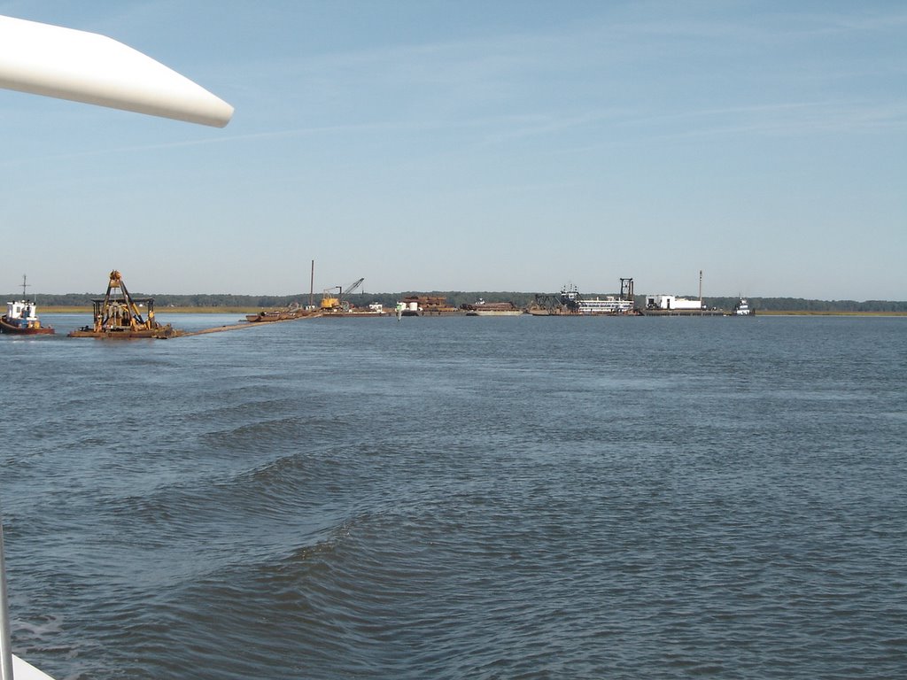
Hilton Head to Savannah took us through more winding rivers and cuts. Welcome to Georgia! Crossed the Savannah River about seven miles south of the city but decided not to go up river. As we were approaching a narrow cut, we heard a tug boat broadcast that he was pulling a number of barges. Actually, he had over 1500 feet of barges, dredging pipes and US Army boats (see photos). We went to idle and watched as he made the turn into the river. There were three other tugs stationed along the barges to act as pusher/pullers.

Photo: 1500 ft of barges!

Thursday, November 10, 2005
Hilton Head Island, SC
After two days in Charleston, we departed on Wednesday and continued south through the South Carolina low country. Nine foot tides and 3-4 kt currents sure get your attention. Anchored off the beaten path in the small creek. After getting most of the anchor chain down the windlass stopped working. Since my knowledge of the inner workings of the windlass begin and end with the "up/down" buttons, we were kind of stuck.
The next morning, the windlass still wasn't cooperating. John had to hand-pull up the 75' of chain and the 50 lb anchor. The 4 kt current didn't help much. No photos...I only have two hands!
Planned on stopping in Beaufort, SC (Beuw-fort) but there was no room at the inn. So we continued on to to Hilton Head (sacrifice, sacrifice!!). Had to stay in a marina since we couldn't drop the anchor.
Hilton Head was settled by the British in 1663 led by British Navy Captain William Hilton. So, it had nothing to do with the Hilton Hotel chain...in fact there are 9 Marriott resorts on the island!
The next morning, the windlass still wasn't cooperating. John had to hand-pull up the 75' of chain and the 50 lb anchor. The 4 kt current didn't help much. No photos...I only have two hands!
Planned on stopping in Beaufort, SC (Beuw-fort) but there was no room at the inn. So we continued on to to Hilton Head (sacrifice, sacrifice!!). Had to stay in a marina since we couldn't drop the anchor.
Hilton Head was settled by the British in 1663 led by British Navy Captain William Hilton. So, it had nothing to do with the Hilton Hotel chain...in fact there are 9 Marriott resorts on the island!
Tuesday, November 08, 2005
Charleston, SC
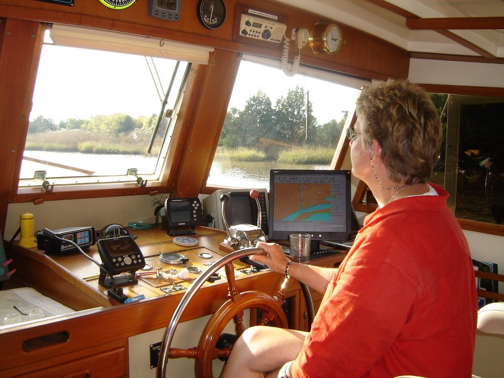 We made the 102 mi run to Charleston, SC in two days. The entire trip was through the South Carolina lowlands which is a trip back in time. Frequently, we were the only visible reminders of civilization. Dolphins surfaced and played in our bow wake.
Arrived in Charleston in the early afternoon and docked at Ashley Marina on the Ashley River (duh!). Charleston is the country's fourth largest container port and also a very busy Navy and Coast Guard center.
Photo: Pam navigating through the South Carolina lowlands.
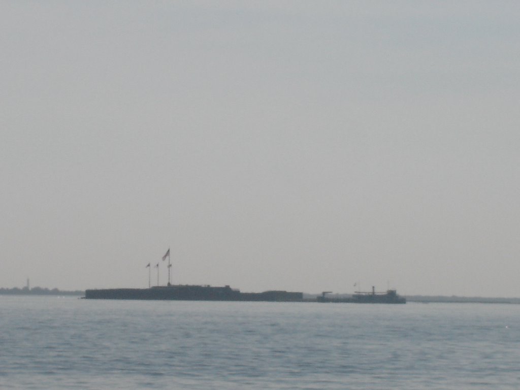
Photo: Ft Sumter, SC at the entrance to Charlestown harbour. The first shots of the Civil War were fired here on April 12, 1861. Legend has it that Abner Doubleday headed the Union force (see link to APBA).
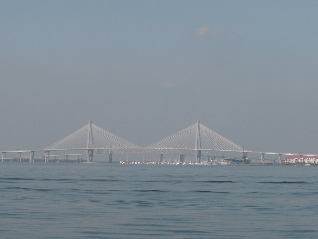
The new 1,546 ft span Ravenal Bridge across the Cooper River (USS Yorktown right of center).
Saturday, November 05, 2005
Photos Around Myrtle Beach
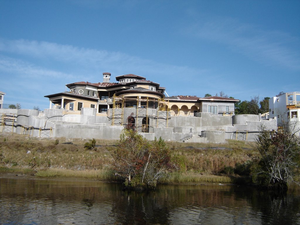
Here are some photos taken on the ICW approaching Myrtle Beach:
Photo: One of the many "shacks" being built along the Waterway near Myrtle Beach.
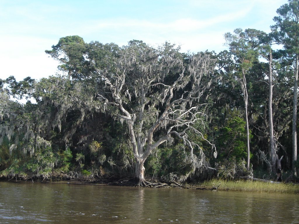
Photo: We be in the South!! Spanish Moss hanging from trees. Actually, Spanish Moss is neither Spanish or Moss....it is an 'air plant' in the pineapple family.
Photo: nest of a Bald Eagle and the nest's owner.
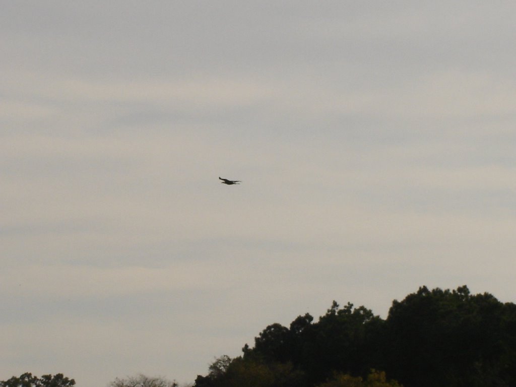
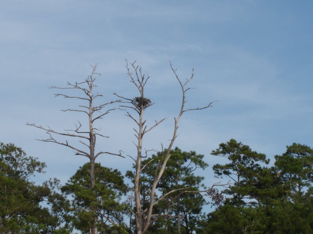
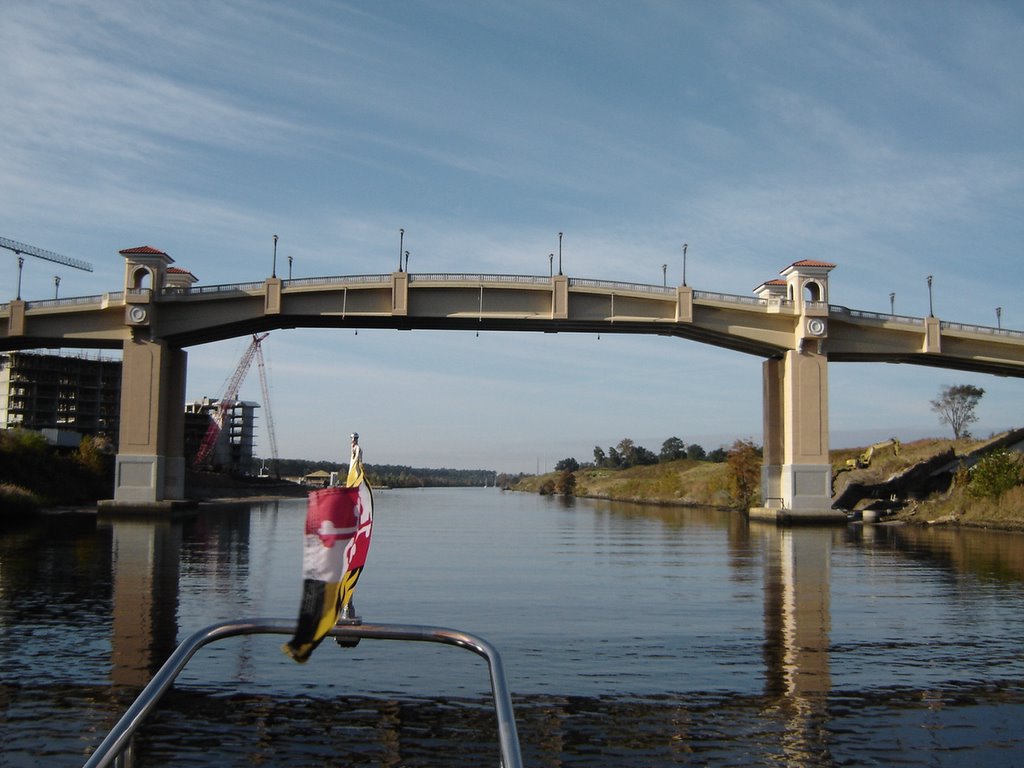
Photo: The Grand Dunes Resort and Golf Bridge over the ICW.
Myrtle Beach, SC
Arrived in Myrtle Beach, SC on Saturday. The ICW actually goes 'behind' Myrtle Beach through the 26 mile land cut known as Pine Island Cut. This was the last section of the Waterway to be completed (1936). Unlike most of the Waterway which was simply dredged, this section required dynamite. The "Rock Pile", as it is now known, took two years of blasting to complete. However, this section is significantly narrower with rocky ledges throughout.
We transited the "Rock Pile" at low tide which, while not having as much depth, did allow us a clear view of the rocks and ledges. Going through at high tide could give you a false sense of security.
We ended up spending the night Barefoot Landing in Myrtle Beach. This is a free dock which has room for about seven boats end-to-end. However, rafting up is expected. There were over 20 boats there when we arrived. We rafted next to a sail boat also from Annapolis.
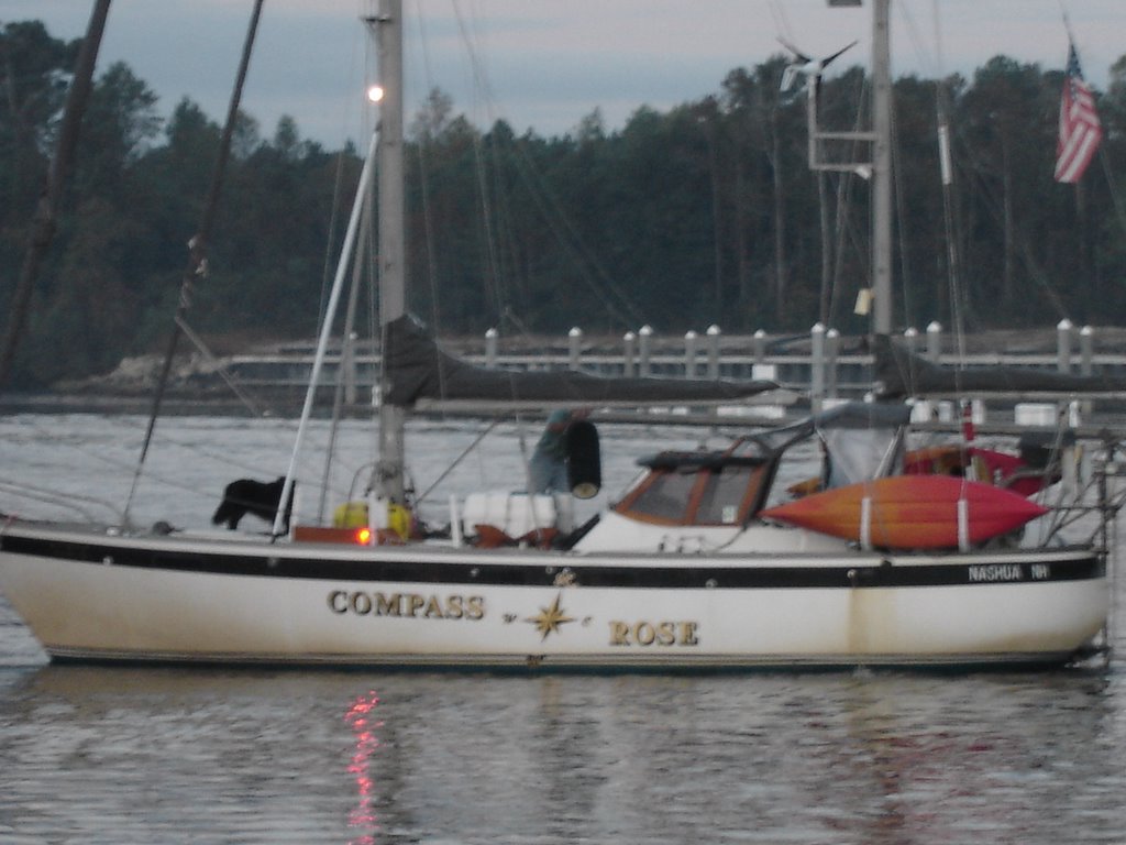
 As the photo shows, there was also another Compass Rose on the ICW.
We transited the "Rock Pile" at low tide which, while not having as much depth, did allow us a clear view of the rocks and ledges. Going through at high tide could give you a false sense of security.
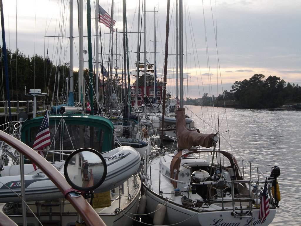
We ended up spending the night Barefoot Landing in Myrtle Beach. This is a free dock which has room for about seven boats end-to-end. However, rafting up is expected. There were over 20 boats there when we arrived. We rafted next to a sail boat also from Annapolis.
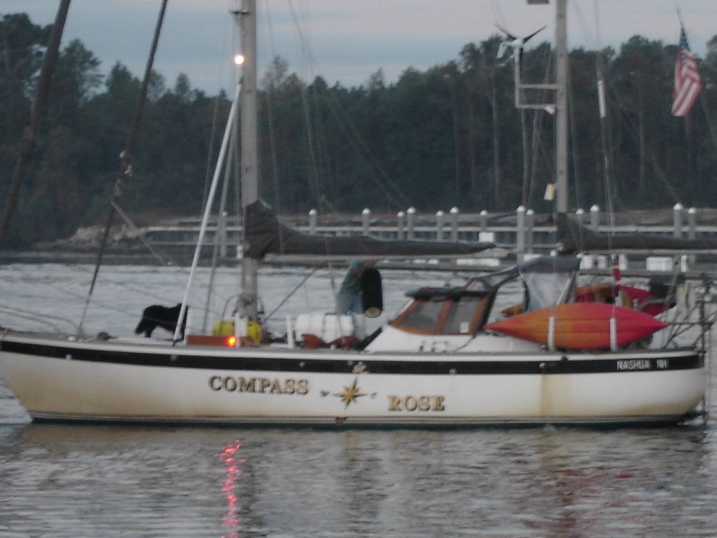 As the photo shows, there was also another Compass Rose on the ICW.
South Carolina!!
Welcome to South Carolina! We've been in North Carolina for 9 days and, as nice as it was, it's sure good to get into another state. Especially one with "south" in it.
BTW, if you lived on Wake Island, you could wake up at noon, take your fishing boat out through the "No Wake Zone" and still get back in time for you uncle's wake. Quite a versatile word!
Now, back to today's movie....
BTW, if you lived on Wake Island, you could wake up at noon, take your fishing boat out through the "No Wake Zone" and still get back in time for you uncle's wake. Quite a versatile word!
Now, back to today's movie....
Friday, November 04, 2005
Cape Fear River
Departed Wrightsville Beach at the crack of noon... gorgeous day with temperatures near 80. This part of the ICW has numerous ocean inlets along the way. When the tide is dropping and the water is getting sucked out, we get an added boost north of the inlets and get sucked along with the tide. However, immediately south of the inlet, that water is also flowing out to the ocean but coming straight at us. It was not uncommon to see a 4 kt drop in speed instantaneously. We would be cruising along at 9 kts and suddenly be at 5 kts.
But the real ride came when we entered the Cape Fear River south of Wilmington, NC. We hit the outgoing tide and surfed down the river at 10-11 kts (see the photo for 'proof'). My 7 kt brain was getting a little taxed with the blinding speed. That is all the Cape Fear River has going for it. No scenary along either coast.
We then rounded the town of Southport, NC and headed back into the narrow ICW at normal speed. The water was now at low tide and the waterway had substantially schrunk in width. Great expanses of sand and marshes were visible. The tide here is in the 5-6 foot range. Quite a difference from the Chesapeake Bay.
But the real ride came when we entered the Cape Fear River south of Wilmington, NC. We hit the outgoing tide and surfed down the river at 10-11 kts (see the photo for 'proof').
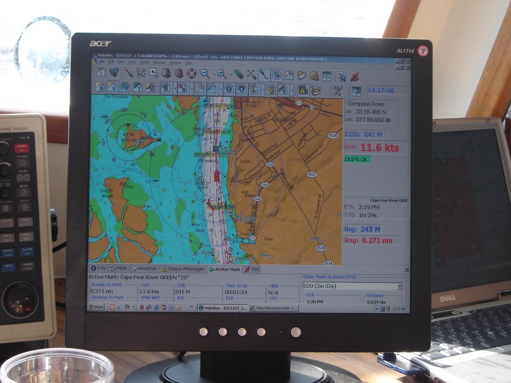 My 7 kt brain was getting a little taxed with the blinding speed. That is all the Cape Fear River has going for it. No scenary along either coast.
We then rounded the town of Southport, NC and headed back into the narrow ICW at normal speed. The water was now at low tide and the waterway had substantially schrunk in width. Great expanses of sand and marshes were visible. The tide here is in the 5-6 foot range. Quite a difference from the Chesapeake Bay.
Wrightsville, NC
After leaving Oriental, NC we finally began to put on some miles. Compass Rose covered 91 miles in the next two days. A stopover in the harbor at Swansboro, NC and then we arrived at Wrightsville Beach, NC. Along the waterway, we saw dolphins swimming along with us. Anchored off the ICW in a protected sound. Took the dinghy to a dock and walked two blocks to the Atlantic Ocean! It’s so nice to be near the ocean and smell the salt air. The water is so much ‘blue-er’ now. 
Wrightsville Beach is a very nice and built-up town that must be nuts in the summer! There are boats, condos, bars and beaches everywhere. Walked to Mott’s Seafood and bought shrimp right off the boat.
Upon arriving here last night, we called some old friends of ours and went out to dinner with them. We hadn’t seen Michael and Cookie Ward since about 1989 and it was a great visit. Michael and John flew in the Navy Reserves together and Cookie and Pam graduated in the same high school class in Pensacola.
Wrightsville Beach was obviously named after the Beach brothers. Actually, there was something about a flying machine around here. A complete history of the town may be found at http://www.wbmuseum.com/wb_history.htm
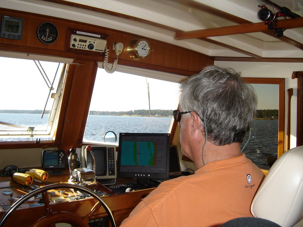
Photo: view from the pilot house (on a bad hair day!)
Wrightsville Beach is a very nice and built-up town that must be nuts in the summer! There are boats, condos, bars and beaches everywhere. Walked to Mott’s Seafood and bought shrimp right off the boat.
Upon arriving here last night, we called some old friends of ours and went out to dinner with them. We hadn’t seen Michael and Cookie Ward since about 1989 and it was a great visit. Michael and John flew in the Navy Reserves together and Cookie and Pam graduated in the same high school class in Pensacola.
Wrightsville Beach was obviously named after the Beach brothers. Actually, there was something about a flying machine around here.
 A complete history of the town may be found at http://www.wbmuseum.com/wb_history.htm
Photo: view from the pilot house (on a bad hair day!)
Tuesday, November 01, 2005
Oriental, NC
Arrived at Oriental, NC this morning and stayed at the new Oriental Harbor Marina. A very nice facility! Walked the entire town in two hours including the smallest West Marine we've ever seen. 
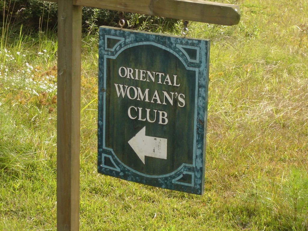
In preparation for visiting here, we both studied up on our Japanese and Chinese but, after a full day of walking around, we saw no one from Japan, China or Korea! Even went to the Oriental Women's Club but none there either.
Actually, a merchant ship (Oriental) was destroyed in a gale near here in 1862. The ships' name board washed ashore and the name of the town was changed from Smith's Creek to Oriental.
Oriental bills itself as "The Sailing Capital of North Carolina". There are over 3,000 boats calling Oriental as a homeport...in a town with a population of 830!
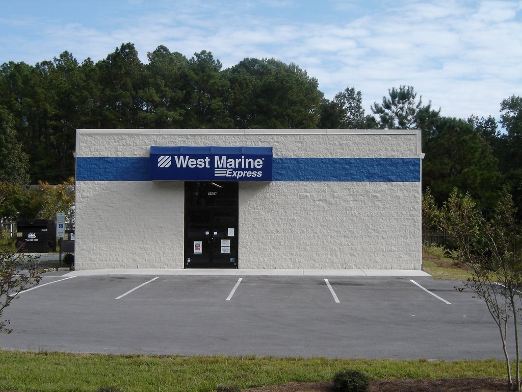
In preparation for visiting here, we both studied up on our Japanese and Chinese but, after a full day of walking around, we saw no one from Japan, China or Korea! Even went to the Oriental Women's Club but none there either.
Actually, a merchant ship (Oriental) was destroyed in a gale near here in 1862. The ships' name board washed ashore and the name of the town was changed from Smith's Creek to Oriental.
Oriental bills itself as "The Sailing Capital of North Carolina". There are over 3,000 boats calling Oriental as a homeport...in a town with a population of 830!
Emancipation Day!
You loyal bloggers are aware that Compass Rose was restricted from venturing south of Hatteras before Nov 1st due to insurance/hurricane policies. So, we have been meandering south at a liesurely pace. Now we can begin to put some miles under the keel.
However, there are two towns we definetly want to visit in NC, Oriental and Beaufort. Each is only 25 miles apart so we will still be 'meandering' for at least another day.
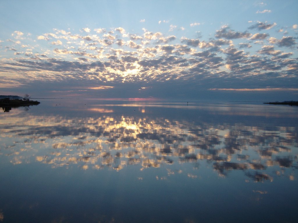
Photo: sunrise somewhere in NC this morning (I think it's right-side up!)
Monday, October 31, 2005
Attacked by Pirates!
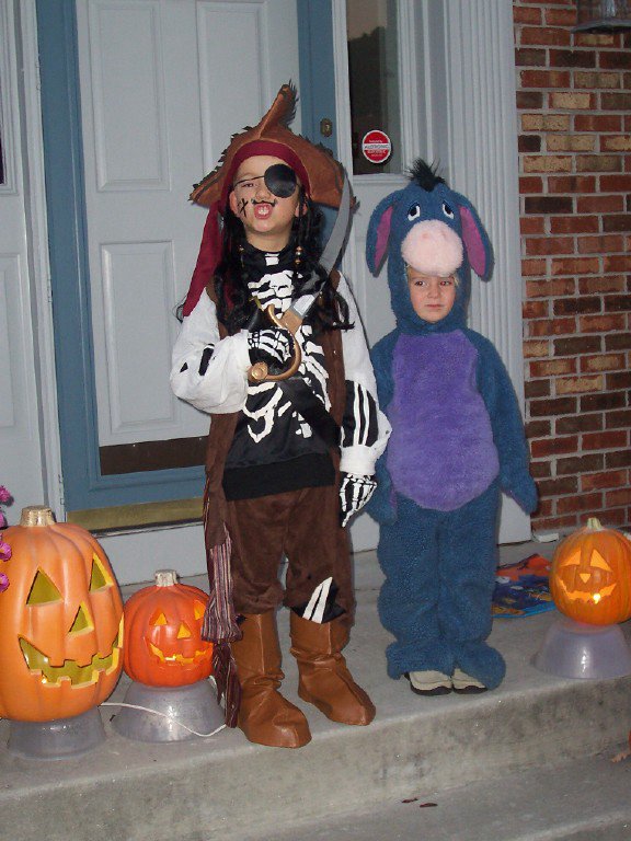
While lazing around at anchor on a beautiful Holloween evening, suddenly we were attacked by pirates (and their trusty mascot Eiore). Fortunately, a few candy bars were enough to repel the
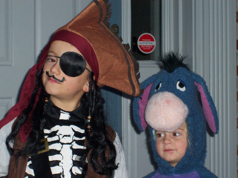 attack!
Shorts!
Sunday, October 30, 2005
Bath, NC (North Carolina's Oldest Town)
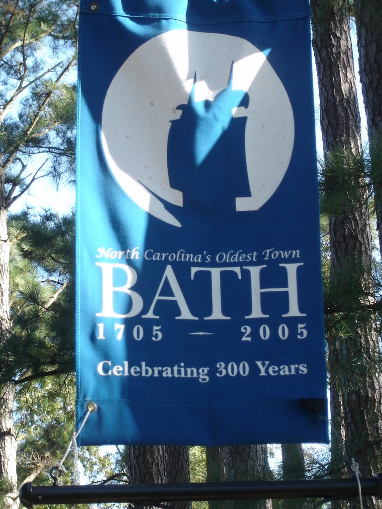
Pulled into the free State Dock at Bath, NC after a great four hour cruise down Pamlico Sound. Bath, NC is the oldest town in NC dating back to 1705. Doing the math, they are celebrating their 300th anniversary this year.
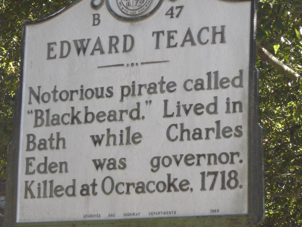
Edward Teach, better known as "Blackbeard the Pirate" hung out around here and was killed in a naval battle in 1718.
 St Thomas Episcopal Church is the oldest existing church in the state. Its bell was presented by Queen Anne in 1732. Bath was the provincial capital of North Carolina in 1746.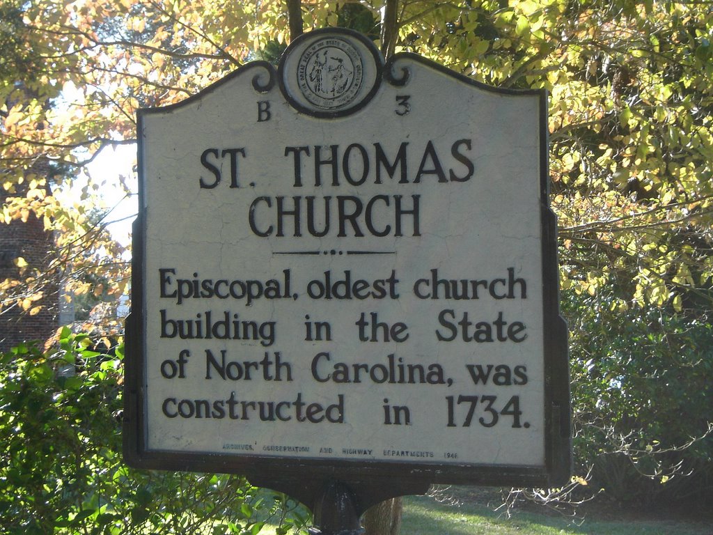
We walked around this delightful town (pop. 140) on a beautiful fall day. There are plenty of homes from the 1700's and a delightful mix of newer homes. Nice town with a very real connection to its past.
For more information on Bath, see the link to the right.
Saturday, October 29, 2005
One More Day in Belhaven
Decided to spend another day anchored in Belhaven. We still cannot venture south of Hatteras until Nov 1st so we have some time to kill.
As we were walking in town, received a cell phone call from the dockmaster at Marathon Marina checking on our progress. They had eight boats sunk in the marina from Wilma and lost thirty slips. But, he expects to be back to full capability by the end of November. We were certainly relieved to hear that.
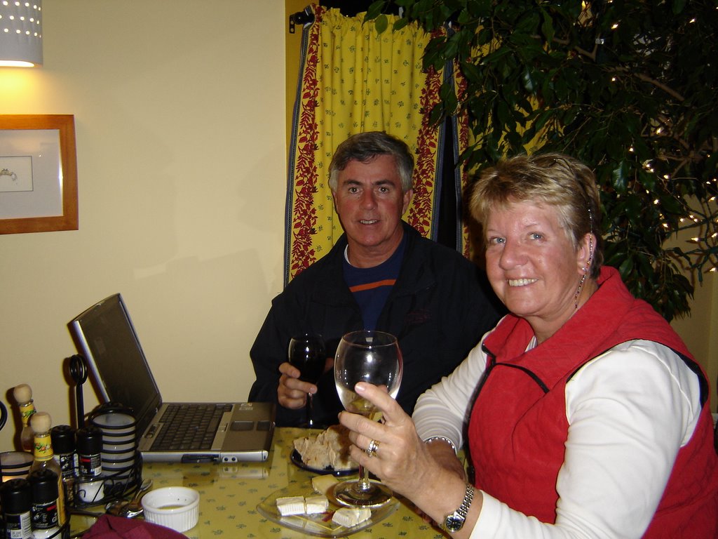
After sending the intermediate blog update from the library, we came back into town and stopped at "Wine & Words". This is sort of a coffee shop/dining facility except they have wine instead of coffee. Had great food and wine and was also able to use their WiFi to catch up on the blog.
Photo: John & Pam at "Wine & Words" updating the blog
As we were walking in town, received a cell phone call from the dockmaster at Marathon Marina checking on our progress. They had eight boats sunk in the marina from Wilma and lost thirty slips. But, he expects to be back to full capability by the end of November. We were certainly relieved to hear that.
After sending the intermediate blog update from the library, we came back into town and stopped at "Wine & Words". This is sort of a coffee shop/dining facility except they have wine instead of coffee. Had great food and wine and was also able to use their WiFi to catch up on the blog.
Photo: John & Pam at "Wine & Words" updating the blog
Friday, October 28, 2005
Belhaven, NC
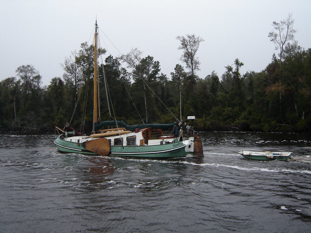
Transited the Alligator River/Pungo River Canal which is a 23 mile straight cut connecting the two rivers. Reminded us of the Dismal Swamp....it was drizzling all day so it was even 'dismal'. We passed this interesting boat in the canal. Wish I could say it was from France but the home port said Sarasota, FL.
Anchored in the river off Belhaven, NC, a small town that has seen better days. We walked the 2 miles to the post office to pick up our mail that had been forwarded. Keep those cards and letters coming!
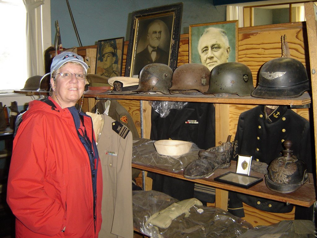
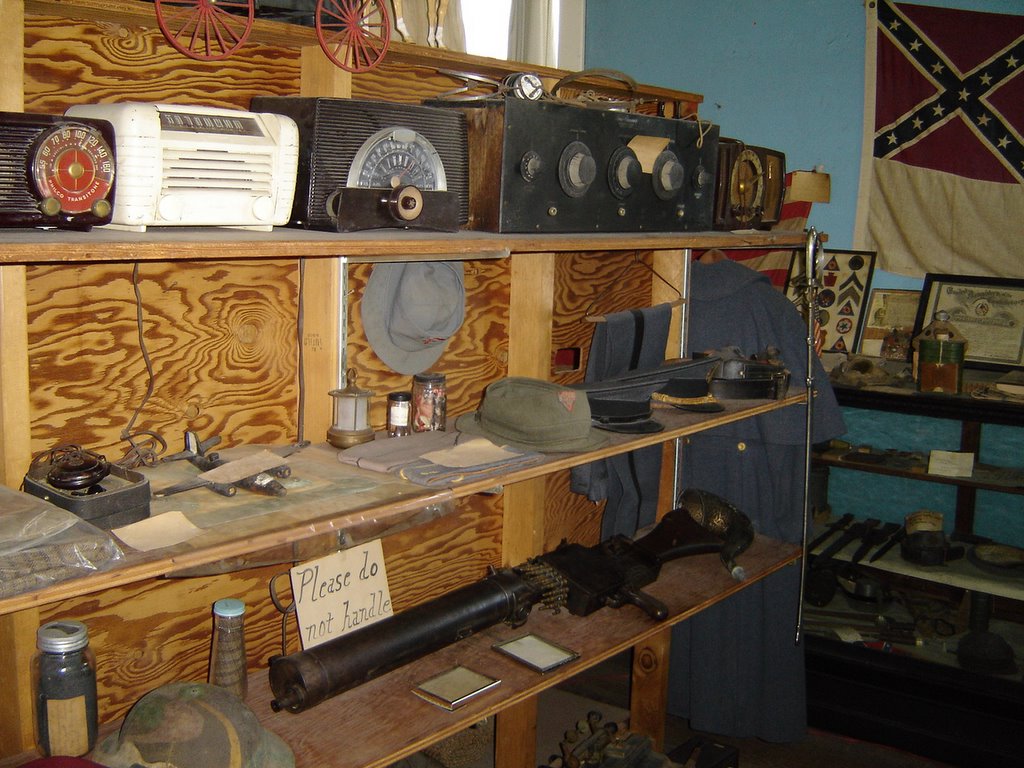
In all fairness, we did find a number of interesting places in Belhaven. The Belhaven Museum is very wierd! It is an eclectic collection of everything old...WW I & II memorabilia mixed with old cameras, typewriters, dresses from the 1890's, 30,000 buttons, premature fetuses (feti?), deformed pigs ( a one-eyed and a six legged) and chickens in formaldahide. Oh, and two fleas dressed as bride and bridgroom (magnifying glass provided). All this was covered in a fine layer of dust at least 20 years old.
Thursday, October 27, 2005
Albemarle Sound/Alligator River
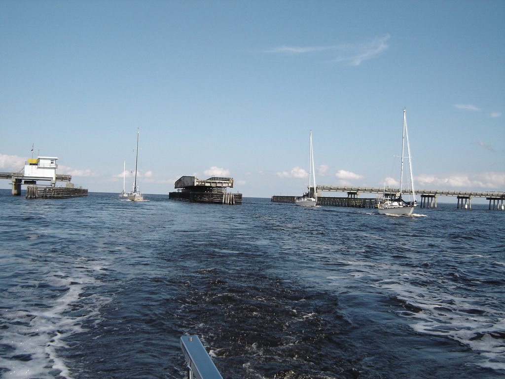
After leaving E City we crossed the Albemarle Sound which can sometimes be an adventure. The wind was 10-15 from the north which was the perfect setting for our southerly heading. Very smooth crossing and then we entered the Alligator River (no, there aren't!). The Alligator River swing bridge (photo) was constantly opening for all the southbound boats. This river is pretty wide with nothing but scub pines along the shore.
Anchored in the river off Deep Point with 13 other boats (the Cruising Guide says "holds 3-4 boats"). The serene setting was somewhat compromised by the Air Force F-15's practicing dive bombing on the river (damn pilots!)
Spotty Internet Access
For all of you disappointed bloggers who haven't seen any updates here for a few days, I say 'mea culpa'. After we left Elizabeth City, NC, we haven't had a reliable internet connection for more than a few minutes.
A short synopsis of where we've been follows and will be filled in with more detail and pictures when (and if) we ever get a signal again.
Tuesday Oct 25: Tied up at Pelican Marina in Elizabeth City, NC for a much need holding tank pumpout, etc. Walked 1 3/4 mi to a Food Lion for groceries.....
Wednesday Oct 26: Left Elizabeth City and headed across Albemarle Sound. Had a following north wind 10-15 kts which was ideal for the crossing. Made about 8 kts in smooth seas. Entered the Alligator River and continued down to an anchorage off Deep Point with thirteen other boats (the Cruising Guide says "room for 3-4 boats"!). The peaceful solitude was somewhat interrupted by Air Force F-15's on low level bombing runs over the river (no ordnance).
Thursday Oct 27: Continued down the Alligator River and the Pungo River canal. The canal is basically a straight cut (read 'ditch') connecting the Alligator R. and the Pungo R. Sort of like the Dismal Swamp and, since it was drizzling the whole day, was indeed 'dismal'.
Friday Oct 28: anchored in the river off Belhaven, NC. 105 year old town whose best days are behind it! Pretty wierd museum here with old WW I memorabilia, deformed pigs and snakes in formaldahide bottles, 30,000 buttons, etc.
Saturday Oct 29: decide to spend the day in Belhaven and go to the library to use their internet connection. Obviously, it works! But all the photos are on my laptop so they will have to wait.
Marathon, FL (our destination) was hit very hard by Hurricane Wilma with most marinas sustaining major damage. No word yet on ours yet. We will just have to remain flexible on our ultimate destination.
A short synopsis of where we've been follows and will be filled in with more detail and pictures when (and if) we ever get a signal again.
Tuesday Oct 25: Tied up at Pelican Marina in Elizabeth City, NC for a much need holding tank pumpout, etc. Walked 1 3/4 mi to a Food Lion for groceries.....
Wednesday Oct 26: Left Elizabeth City and headed across Albemarle Sound. Had a following north wind 10-15 kts which was ideal for the crossing. Made about 8 kts in smooth seas. Entered the Alligator River and continued down to an anchorage off Deep Point with thirteen other boats (the Cruising Guide says "room for 3-4 boats"!). The peaceful solitude was somewhat interrupted by Air Force F-15's on low level bombing runs over the river (no ordnance).
Thursday Oct 27: Continued down the Alligator River and the Pungo River canal. The canal is basically a straight cut (read 'ditch') connecting the Alligator R. and the Pungo R. Sort of like the Dismal Swamp and, since it was drizzling the whole day, was indeed 'dismal'.
Friday Oct 28: anchored in the river off Belhaven, NC. 105 year old town whose best days are behind it! Pretty wierd museum here with old WW I memorabilia, deformed pigs and snakes in formaldahide bottles, 30,000 buttons, etc.
Saturday Oct 29: decide to spend the day in Belhaven and go to the library to use their internet connection. Obviously, it works! But all the photos are on my laptop so they will have to wait.
Marathon, FL (our destination) was hit very hard by Hurricane Wilma with most marinas sustaining major damage. No word yet on ours yet. We will just have to remain flexible on our ultimate destination.
Wednesday, October 26, 2005
Elizabeth City, NC
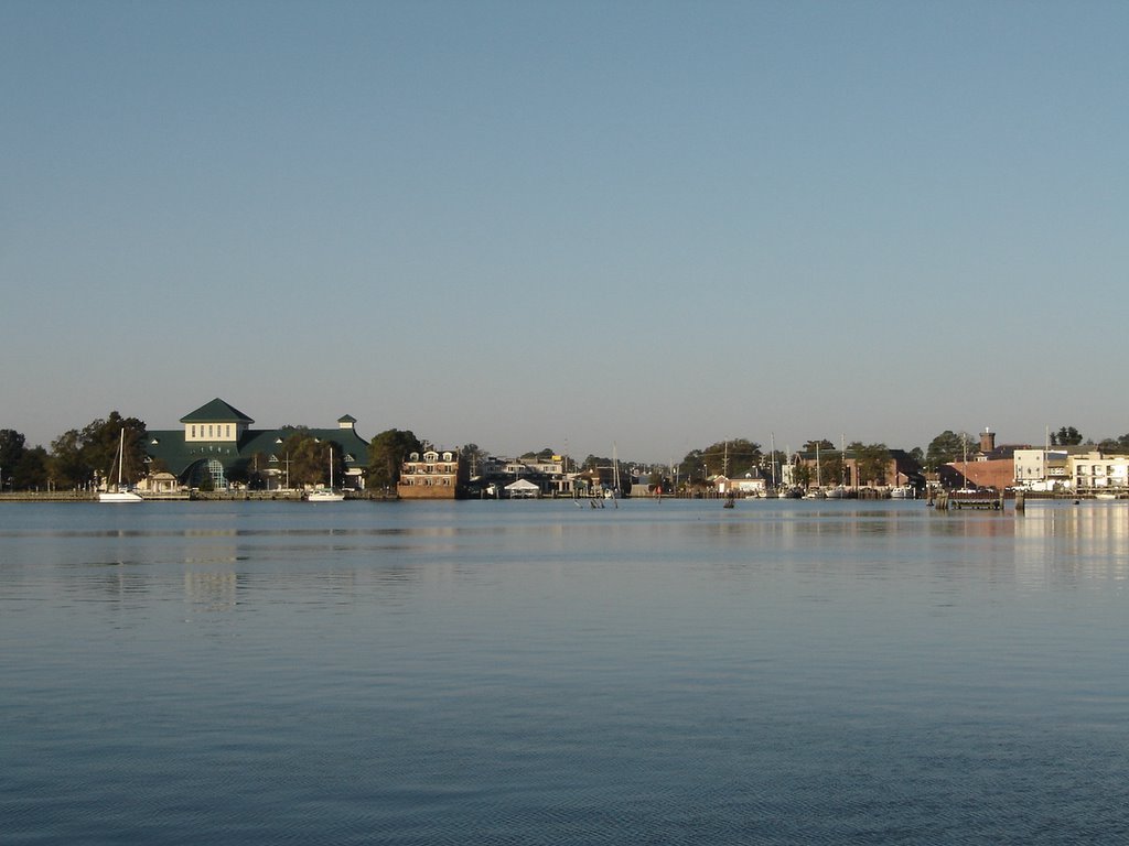
Woke to a brilliant sun and blue sky and proceeded to pull up anchor. The muddy bottom made for very good holding but the flip side of that is someone has to clean the two days worth of mud off the anchor chain. It took thirty minutes to get the anchor up while hosing off the North Carolina mud.
A short ninety minute cruise down the river brought us to Elizabeth City, NC. We pulled into Pelican Marina for a much needed holding tank pump out. Stayed the night there as it was only $1.00 a foot.
Walked into town and saw it was a very old town. It was first visited by the English in 1585 and settled in 1793 by Adam and Elizabeth Tooley (hence its name). Not a whole lot here with a number of vacant storefronts downtown. We walked 1 ¾ mi out to the Food Lion for a big grocery buy. It was only a $6 cab ride back to the marina.
Departed E City (as we ICW veterans call it) at 0830. Eleven sailboats had already left ahead of us. Gorgeous day with calm seas across Albemarle Sound. On the way down the
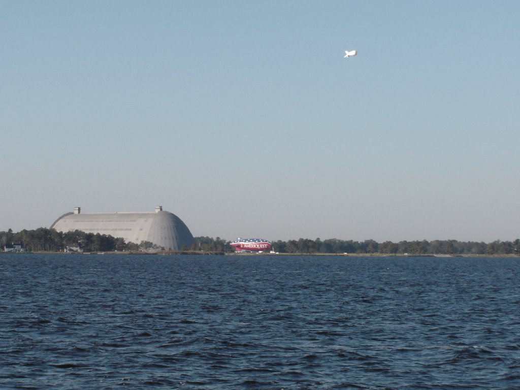 Pasquotank River we passed the Coast Guard Station Elizabeth City which surprisingly, is the largest is the country. There was also a large blimp hangar built in WW II which now houses a blimp making company. I assume the blimp in the photo was built here.
The Krogen Manatee “Just The Two Us” (Tom & Peggy Horachek) passed us enroute to their homeport of Conche Key. The have a car rented in New Berne, NC to drive to the Keys to access the damage to their home.
Subscribe to:
Posts (Atom)