Wednesday, November 22, 2006

There Is Plenty of Open Space in Florida

The "central" part of Florida is sure a lot different than either coast. It is flat as a table and covered with orange groves and grazing cattle. There is plenty of open space if you don't mind no beach, no ocean and no "there there".

Florida ranks 12th in the nation in the number of beef cows. Cattle were introduced into Florida in 1521 by Ponce de Leon. Who knew?!
It obviously ranks 1st in the country for orange and citrus production. Florida and Sao Paulo, Brazil account for 90% of the worldwide orange production.
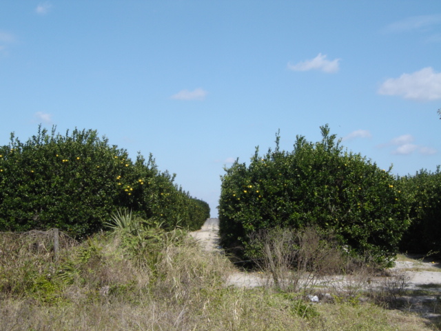
Photo: Orange trees in central Florida.

The Left Coast is starting to look like the East Coast... massive building projects, high rise condos, grid locked traffic and skyrocketing real estate prices. Here come the Baby Boomers!

Sunday, November 19, 2006

A Change in Plans

We have no plan and we're sticking to it...

But, sometimes you gotta have an idea of a plan. The "plan" was to cross over to the west coast of Florida via Lake Okeechobee and the Caloosahatchee River and arrive in Naples for Thanksgiving with John's mother.

The weather is going to hell this week with winds forecast to be 25-30 kts and 5-7 ft seas in the Gulf of Mexico. Lake Okeechobee (which is only about 10 ft deep) will be extremely rough with seas in the 5 ft range and on the beam.

Soooo, the new "plan" is to leave Compass Rose here in Vero Beach, rent a car and drive over to Naples. We'll spend Wed-Fri there and then depart here on Saturday and head down the east coast towards the Keys. As they say, 'boating is an outdoor sport'...

Friday, November 17, 2006

Severe Storms


We anchored on Wednesday night next to the NASA Causeway in Titusville, FL. Winds had increased to 20-25 kts from the south so the causeway gave us some smooth water. The front came blowing through on Thursday with rain, high winds and thunderstorms. Apparently, this front did some serious damage in North Carolina and on up the east coast.


The next two days were more of the Indian River...a three mile wide body of water with an average depth of 3 ft! The 90 ft wide channel for the ICW is about 12 ft deep so you have to pay attention to the red/green markers.
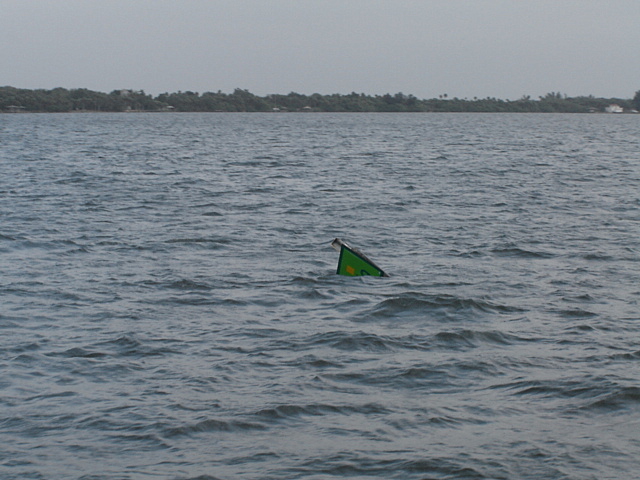
Photo: Looks like someone ran over this Green marker.

We arrived at Vero Beach on Friday and pulled into the city owned mooring field. There must be over 100 boats there. Just as we were arriving we saw the smoke trail of the Delta rocket launched from Cape Canaveral 50 miles to the north.

Wednesday, November 15, 2006

St Augustine and South


We put 135 miles under the keel in the last two days and anchored both nights. Blew by St Augustine, Jacksonville, and Daytona Beach...not much to tell.

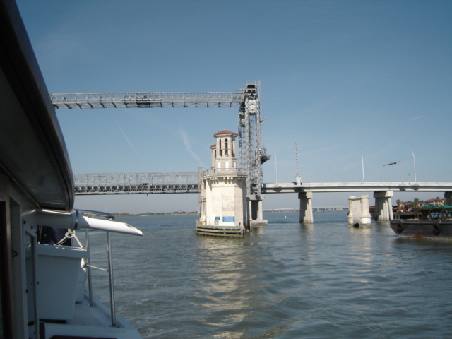
The famous Bridge of Lions in St Augustine is undergoing extensive renovations. They have built a temporary bridge next to it while they refurbish the bridge.

Photo: Bridge of Lions (with center span removed) and 'temporary' lift bridge.


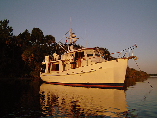
Photo: Anchored in solitude

Monday, November 13, 2006

Water Tanks and Fuel Tanks


Before leaving Fernandina Beach, FL this morning, we pulled into Florida Petroleum, a commercial fuel dock with very good prices. After putting in 400 gal at $2.09/gal (+ 7% tax) we then motored over to the city dock to take on water. John filled both tanks with water while Pam went into town to find a FEDEX box.


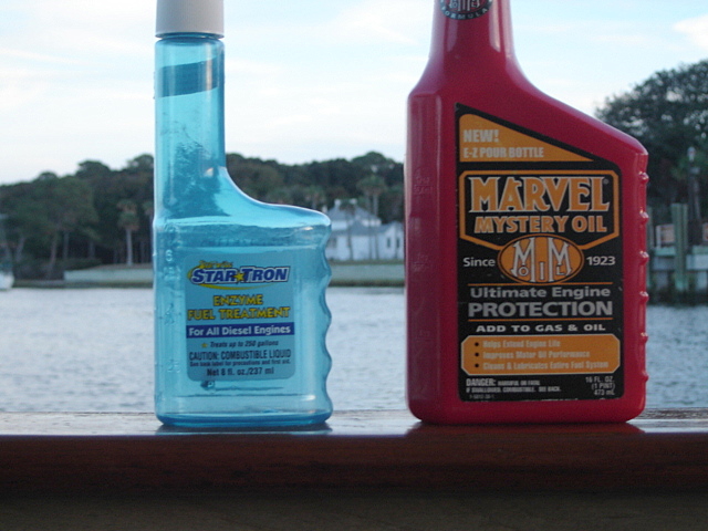
Marvel Mystery Oil is a highly recommended fuel additive as is StarTron. One improves lubricity and adds sulphur back while the other treats the fuel. Unfortuanately, they do NOTHING for fresh water! Yep, John dumped 8 fl oz of the StarTron into each fresh water tank and 16 fl oz of the Mystery Oil into the port tank before he caught himself.


Well, emptying the 300 gallons of water takes a heck of a lot longer than it does to fill it!! This delayed our departure from Fernandina for several hours. Hopefully, we got most of the stuff out or at least very diluted. It's always something!!

Saturday, November 11, 2006

St Marys, GA


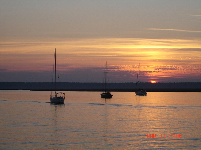
Today we did a 75 mile/10 hour day via the ocean. Just put the autopilot on and maintained the same course for 40 miles. John even scraped, sanded and put on a coat of teak protection on the flybridge while underway.

We are anchored in St Marys, GA which is right across the border from Florida. The King's Bay Navy Submarine Base is just down the river from St Marys.
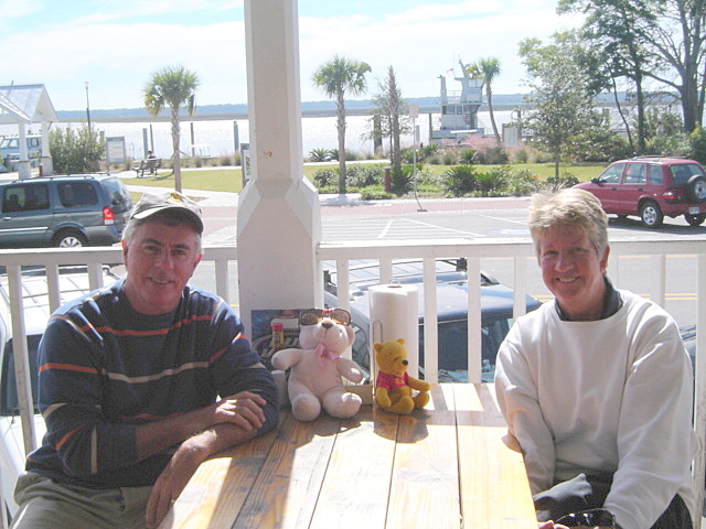
We were joined for lunch by 'Bear' and 'Pooh' who rode into town on the dinghy with us. Guess they'll be making the rest of the trip with us!
After walking around St Marys on Sunday (most of the stores don't open until 1pm) we pulled anchor and cruised the 6 miles to Fernandina Beach, FL.
WELCOME TO FLORIDA!!

Wednesday, November 08, 2006

Kiawah Resort, SC


We rented a car and drove up to Kiawah Island resort just south of Charleston. Pam is doing a 'site visit' for the Maryland Auto Dealers Assn summer convention in 2007.

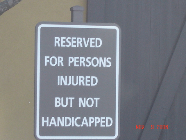
Quite a place! Very large hotel right on the ocean. Four world class golf courses, including the famous Ocean Course. Saw this sign at a store in Kiawah....must be dangerous golf courses!


Drove back to the Savannah area on Thursday evening. Pam bought a casting net to catch shrimp. Caught 4 the first time!

Tuesday, November 07, 2006

Delegal Creek Marina (Savannah suburbs)


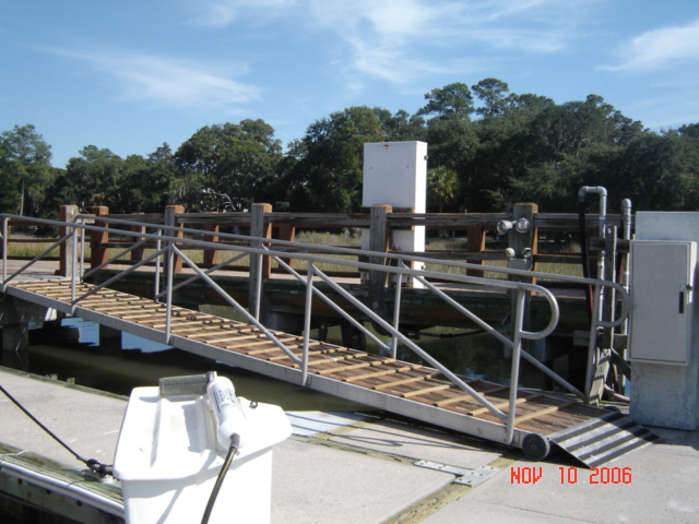
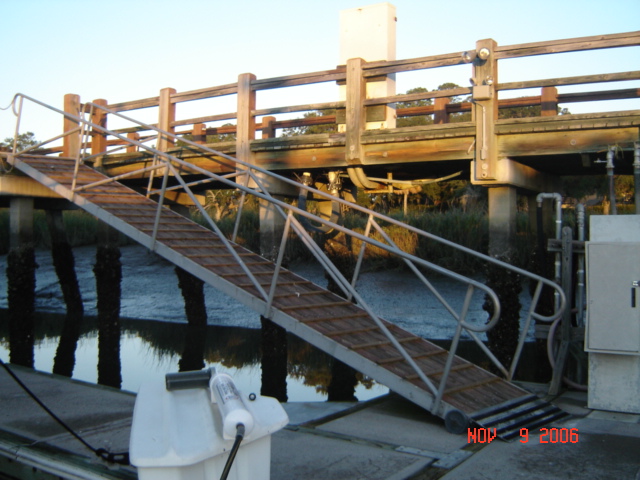
We made a short trip to Delegal Creek marina to leave the boat while we drove to Kiawah, SC. You can only get up the creek to the marina at high tide rising or full high tide. The tidal range in about 10 ft and the current is fierce. But, what a place! The marina is part of The Landings, a gated community with 6 golf courses. All the trees are hanging with Spanish moss and the houses are lovely. They had a courtesy car which we borrowed before renting a vehicle. Wish we could stay longer and maybe play the golf course.


Photo: Walkway to floating dock at low tide. Photo: Same walkway at high tide.

Sunday, November 05, 2006

Downtown Savannah

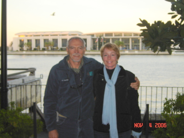
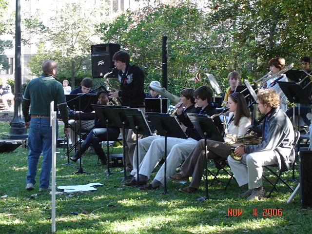
We met up with Chuck and Barb Shipley (Tusen Takk II) who are from Savannah. We joined them in walking around town and they were very gracious showing us the 'real' Savannah. We attended an art festival in one of the many parks downtown and then walked to Riverfront to watch more artists and musicians and powerboat races on the river.
Photo: Chuck & Barb Shipley


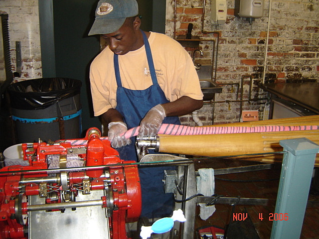
Photo: This machine has been stretching/cutting/wrapping
taffee since 1915!
Photo: Savannah Day School Jazz Ensemble
Photo: Oldest Black church in N. America

Saturday, November 04, 2006

Friday, November 03, 2006

Savannah, GA

Made it to Savannah on Thursday. Actually, we are anchored in Turner Creek 5 miles from the city. We will probably stay here for a week since Pam has to travel to Kiawah Island, SC for business next week.

Tomorrow (Sunday) is the full moon (Spring tide) and the tides are certainly much higher (and lower) than the norm. High tide is 10' above MLW and low tide is 1' below MLW. This means that the total tide range is 11'. Got to be careful where we anchor...

Photo: High tide at our anchorage


Photo: Low tide 6 hours later

Wednesday, November 01, 2006

Charleston and South to Beaufort, SC


Yesterday was Halloween and we had no trick or treaters!! Guess we'll have to eat all this candy ourselves!

Photo: Sunrise over Ladies Island Bridge (Beaufort, SC)

Another glorious day on the Waterway. Temperature was 80 deg and not much wind. Cruised through the 'low country' of South Carolina, past Charleston and anchored off Beaufort, SC. This one is pronounced "Bew-furt" as compared to "Bo-furt" North Carolina. It is a very pretty town with a lot of history and ante-bellum houses. It has been used for many movie scenes (The Big Chill, Forest Gump, The Great Santini, Prince of Tides to name a few).
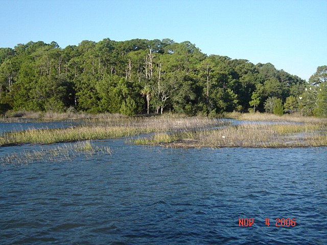
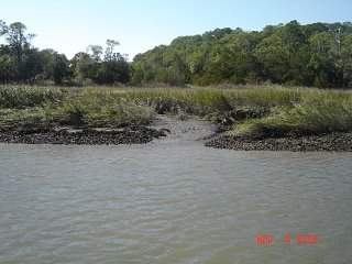
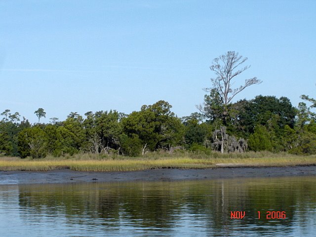
The 'low country' is aptly named...the ICW winds its way through marshland and spartina grass. With 9 ft tides, there is a lot of exposed mud at low tide. The herons and egrets come out for lunch then.

Tuesday, October 31, 2006

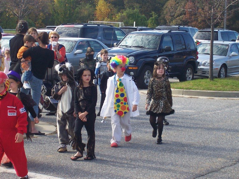
Carson's Halloween


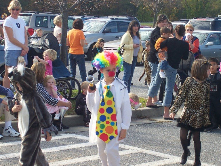
When Carson was in the hospital last June he was entertained by a doctor doing a clown act. It made such an impression on him that he put together a similar outfit for Halloween. He did the entire costume himself. What an imagination!!

Monday, October 30, 2006

Black Monday (Goodbye DST)

Today is the first work day in Eastern Standard Time...sometimes known as "Black Monday" (by me!).

It really sucks to drive home from work in the dark...the days are much too short.


Photo: Pam & John leaving work

Waccamaw River


We transited the Waccamaw River today which is arguably one of the most beautiful parts of the Waterway. The water is black from the cypress trees and Spanish moss is hanging everywhere. We even saw an eagle surveying the scene from his high perch. The river goes "around" Myrtle Beach to the west (or actually to the north since Myrtle Beach faces south).

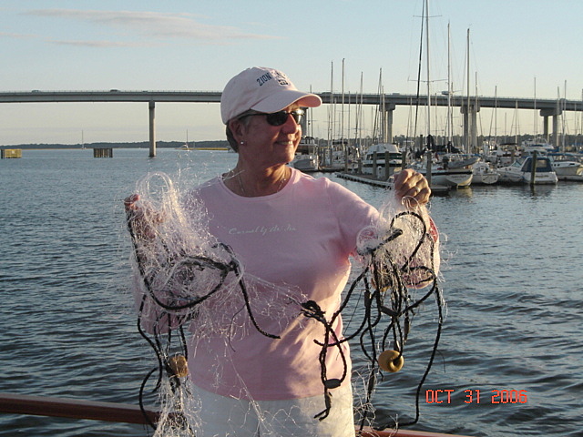
We had to stop at Wacca Wache Marina on the river to get a diver to check out our prop shaft. A few days ago we had snagged a shad net stretched across the ICW. The fishermen cut it loose but we think some of it is still wrapped around the shaft. Pam felt an abnormal vibration in the cockpit deck.

The photo clearly shows Pam's intuition was correct! The diver went under the boat at 6pm (dark) and the water was very black. He had a head light but it was still a scary thing.

Left in the morning with the net on deck for a souvenir. Continued down the Waccamaw towards Charleston, SC

Sunday, October 29, 2006

Cape Fear River; Myrtle Beach, SC

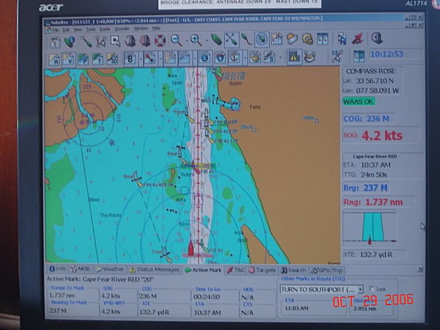
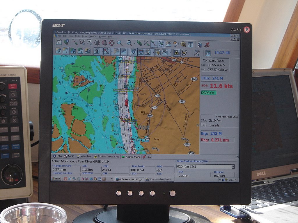
We left Wrightsville Beach bright and early Sunday on a gorgeous day. This year we caught the Cape Fear River at flood tide (against us). Observant bloggers may remember the sleigh ride we had do the river last year (11+ kts with the tide). The Lord giveth and the Lord taketh away....


Photo: This year: 4.2 kts Last year: 11.6 kts

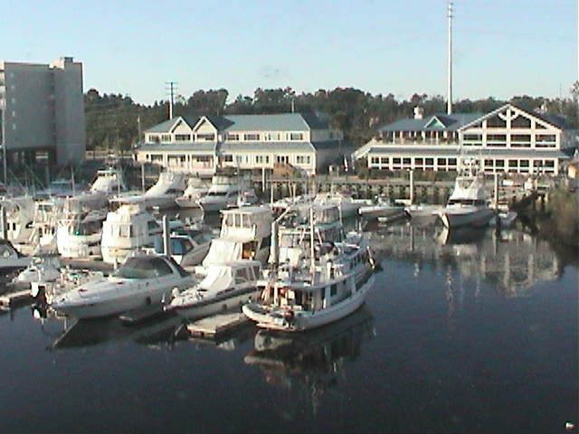
We had planned on anchoring at a favorite place from last year (Calabash, NC) but there was no room at the inn. Ten other boats had beat us to it and there wasn't any deep water to drop anchor. So, we continued on and found a very nice marina in N. Myrtle Beach (Harbourgate Marina). They even had a web cam there so we call Carson and told him to log on so he could see us. Not sure he quite figured out the technology of the whole thing.
Photo: Compass Rose on Harbourgate Marina's web cam.


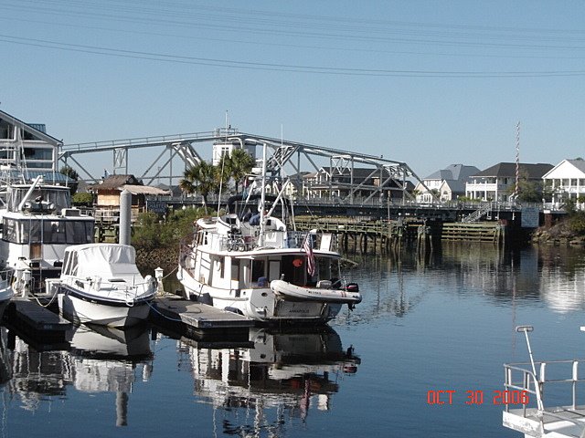
Photo: Actual view of us with Little River Swing Bridge in the background

Saturday, October 28, 2006

Wrightsville Beach, NC


Arrived at Wrighsville Beach, NC around 2pm on Friday. Tied up at Bridge Tender Marina right on the ICW. Kind of like pulling off to the shoulder on I-95. A very strong weather front is due to come through tonight so we wanted to be tied tightly to something hard.

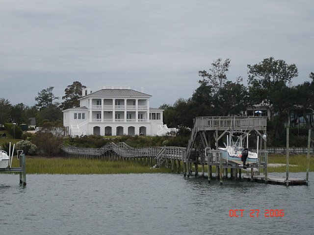
Our friends, Mike and Cookie Ward live here and are just completing a new house. Last October when we came through, we got to see the plans for it. It is right on the ICW and is pretty awesome (see photo).

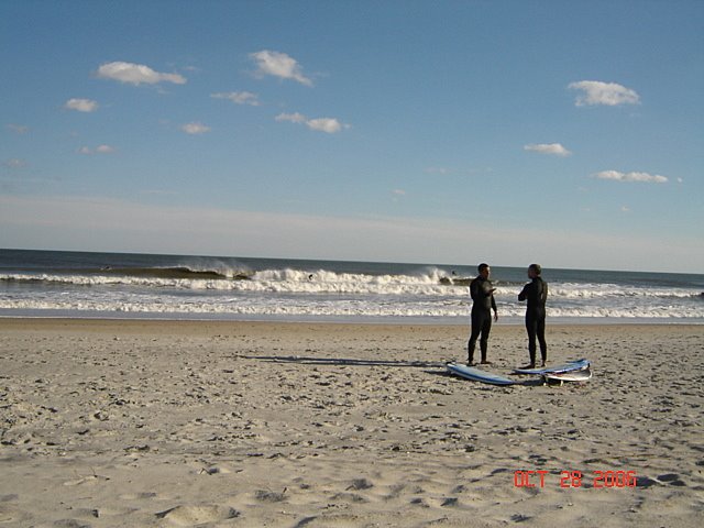
The storm came through and, although it rained very hard, it was over by the time we woke up. Saturday is bright and sunny. Had lunch with Mike and Cookie. Then we walked to the beach where the surfers were taking advantage of the storm surf. Daylight Savings ends tomorrow which means we either have to get up earlier or do less miles per day. Decisions, decisions!

Continuing South


The R.R. bridge in Washington, NC was fixed and finally opened at 1 pm. We departed the dock for a relatively short cruise down Pamlico Sound and the Neuse River. The winds and seas were both behind us making for a great trip.

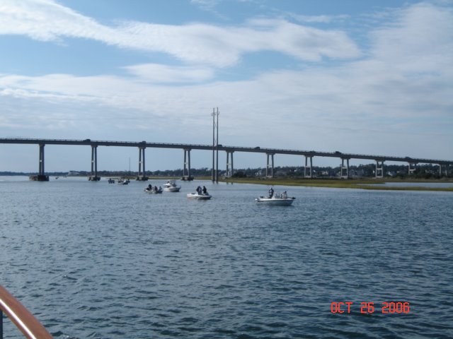
Going through North Carolina, we encountered the annual perch fishing season opener. There were easily 100 small boats in a 1/4 mi area all casting lines. The picture doesn't begin to show the total number of boats there. Must have been a state holiday or no one went to work.


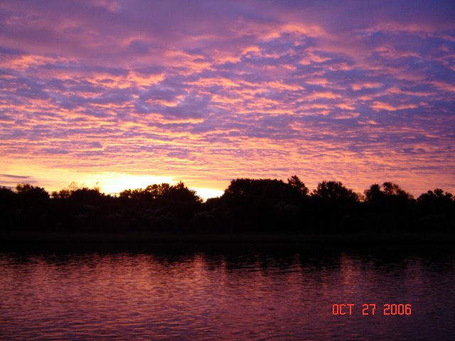
We were up early and departed Mile Hammock Bay at 6:30 am. The sunrise was spectacular!

Wednesday, October 25, 2006

Washington, NC (The Bridge)


The downtown waterfront in Washington, NC is located between a railroad swingbridge and highway swingbridge. Each has only a 7 ft clearance so obviously they need to be open for us to pass. Waking up on Tuesday morning, we noticed the RR bridge was closed. When a train comes, it closed for until it passes. Then it remains open to allow boats to go through.

Welllllll, the bridge remained closed all day! We found out that there was a broken gear and it could not be opened. Trapped between two bridges. Now, Washington is a nice little town but not exactly the place we had planned to spend the winter. Wednesday morning and the bridge is still closed. A call to the bridge operator revealed that a part was to arrive this morning and, with luck it should be re-opened by noon.

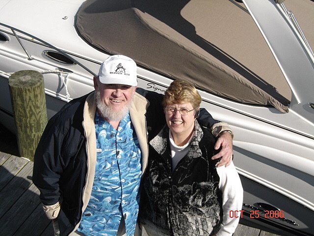
While waiting for the bridge to open, a salty old guy came on the dock to our boat. While talking to him we realized he was "Skipper Bob". He and his wife Elaine publishe a number of the ICW "bibles" which have proven invaluable to us. We had a nice chat about the condition of the Waterway.

Washington, NC


After leaving Albemarle Plantation and transiting the Alligator/Pungo Canal, we took a side trip up the Pamlico River to Washington, NC. This is the first city to be named after George Washington (named in 1776). At the city waterfront docks, we again ran into Tom and Phyllis Davenport on Cocoon. Ken and Janet Carpenter (Magic Dragon) came by the dock to greet us. They live here in Washington and loaned us their pickup for the day. Craig and Pam Mudge (Moonstar) also stopped by to say hello. Who knew all these Krogenites live here?!

Cecil B. DeMille was born and raised in Washington, NC.

Washington is an old town (obviously) and the downtown is undergoing a renaissance. Still has a ways to go... this weekend they hold the "Smoke on the Water" festival complete with hot air balloons and street music.

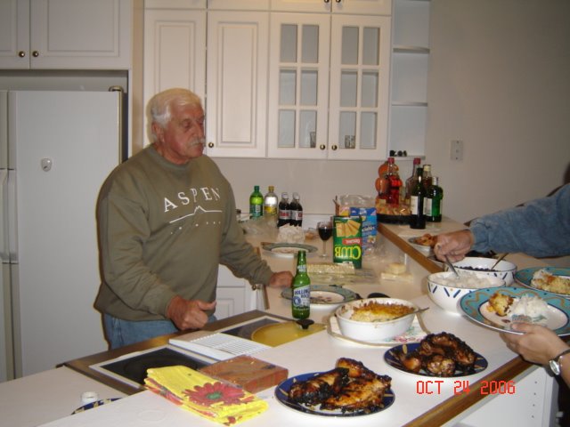
The second night we went to Carpenter's riverfront home for dinner. The Davenport's and Loving's consumed some wine and had a delicious barbecued shrimp and chicken dinner. We had a wonderful time there.

Photo: Our host, Ken Carpenter with his barbecue.

Photo: Tom & Phyllis chowing down

Monday, October 23, 2006

Alligator/Pungo Canal

The Alligator/Pungo Canal is a 22 mile cut connecting the Alligator River and the Pungo River (clever name, eh?).

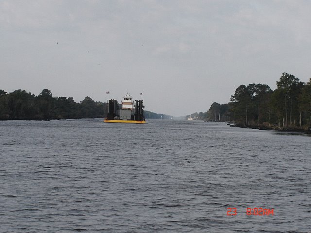
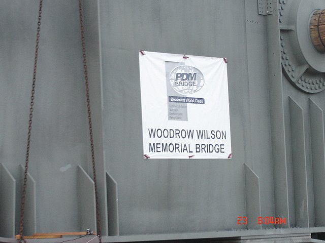
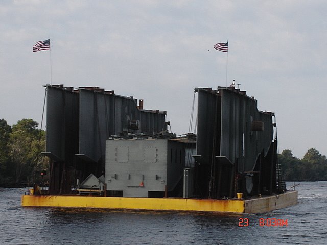
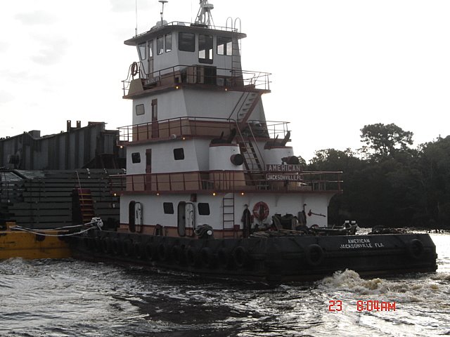
It is heavily used by commercial barge traffic. While transiting it we came head on with a tugboat pushing the barge in the pictures.
We could see this barge coming from a distance of 5 mi and could not figure out what it was. After contacting the tug captain, we found out that it was the new draw bridge for the Woodrow Wilson Bridge. It was the sixth barge load of steel for it. The steel was made in Palatka, FL and came of the ICW and ultimately the Potomac River.

Sunday, October 22, 2006

Albemarle Plantation, NC


We finally pried ourselves away from Edenton! A short two hour trip took us over to Albemarle Plantation where we met long-time friends Joe and Sandy Easterwood. The Plantation was also having their Fall Festival with over 450 people attending at an outdoor dinner and dance. The food was great and the band even better!

We drove around the Plantation and saw their lot and a number of new homes under construction. All in all, a very nice and friendly community with golf course, pool, equestrian center and more.

Saturday, October 21, 2006

Edenton, NC


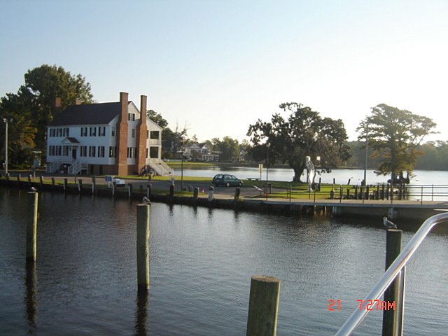
Billed as the "The South's Prettiest Small Town", Edenton certainly lives up to it! We have been here since Tuesday and are finding it difficult to leave. It was originally incorporated in 1715 as the "Towne on Queen Anne's Creek". The town marina is free for the first two days and then only $1/ft after that. This town has hundreds of houses and buildings that were built pre-Revolution and/or pre-Civil War. Check out their website for more historical information.

We ran into John and Robyn Sams who own Liberty Call, a Krogen 42 the same age as ours. They have lived in Edenton for the past 14 years. Robyn owns an art studio/store downtown and they live above it. The building was built in 1880 and their 'house' has the original brick walls, ceiling and wood floors.

Last night we went to Accoustic Coffee, an eclectic coffee shop in town. They had a bluegrass band "Diamond Shoals", who were fantastic. No cover, no minimum. All in all, we really like this town.

Our friends Joe and Sandy Easterwood from VA met us here last night. We had dinner on the boat and then took and evening stroll around town. We are meeting them at the Albemarle Plantation a few miles from here. They own property there and are starting the process of selecting a builder.

Photo: Edenton, NC town marina

Monday, October 16, 2006

Leaving the Chesapeake & Norfolk, VA


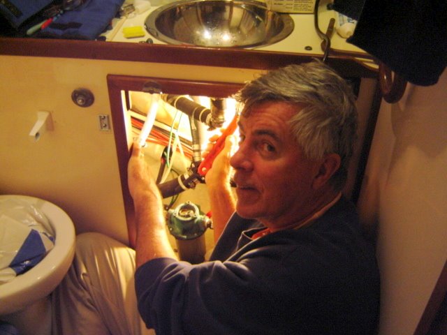
We left Solomons on Saturday, October 14th. We were preparing to leave at 9 am but Pam discovered a leak under the sink in the head. John made a quick trip to Ace Hardware and after a quick fix we were on our way by 11:10 am.

Both Saturday and Sunday were picture-perfect, crisp fall days. The Bay was glassy smooth and we were able to average almost 8 kts (must be the new bottom paint!).

We stopped at Antipoison Creek on Virginia's Northern Neck the first night. Legend (or rumor) has it that the indians used the mud from the creek to cure Capt. John Smith's stingray wound (hence the "antipoison"). Next day was a carbon copy of Saturday and we arrived in Norfolk that afternoon. After a quick stop at Bluewater Yacht Center in Hampton for fuel ($2.30/gal), we continued into Norfolk. We anchored at Hospital Point which is at Mile Zero on the ICW. Only 1,245 nm to go!

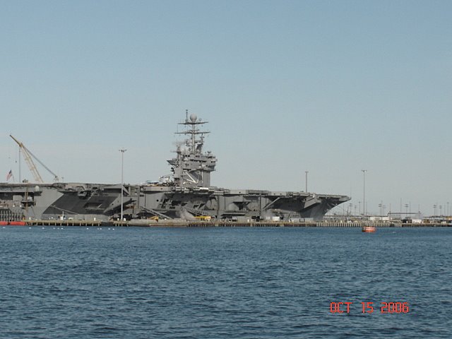
There was only one carrier inport Norfolk (USS Theodore Roosevelt) which is a big contrast to last fall's trip. Must be a war going on...

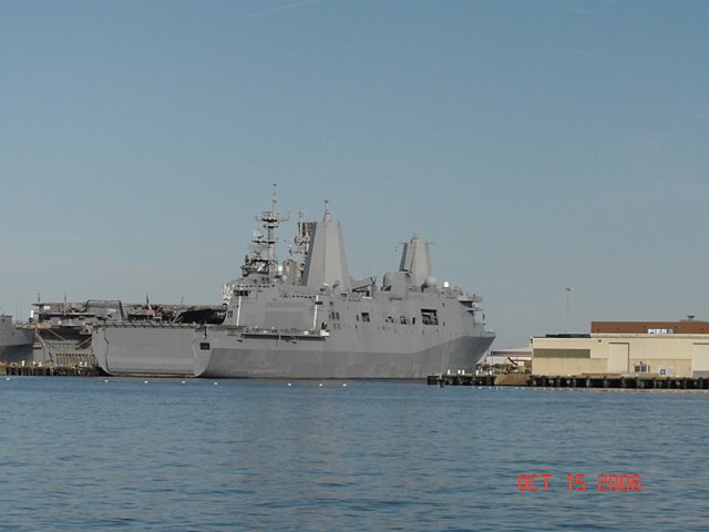
Navy ships have changed a lot since I was last on them. Pictured is the USS San Antonio, the first in the class of new ships to carry and support a complete Marine air/ground task force. It can support four MV-22 Osprey aircraft, numerous air cushioned vehicles (LCAC) and armored assault vehicles. All the radar antennae, etc are completely enclosed which gives the ship a 'stealth' appearance.

Preparing to Head South


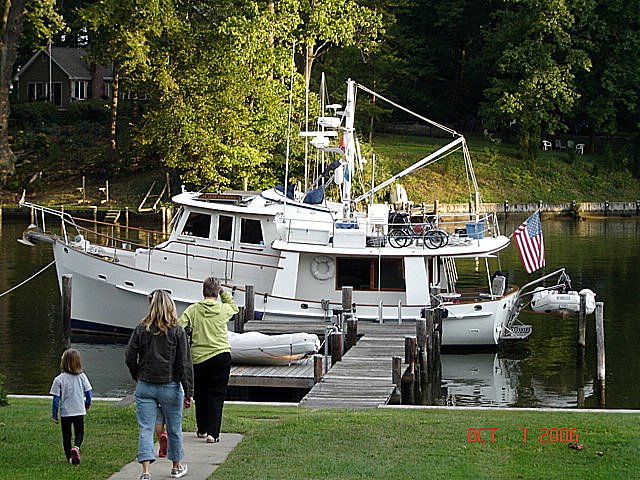
After living on Compass Rose in Annapolis harbor for ten days, we were invited to dock our boat at Bob & Gail Higgenbotham's off Whitehall Creek. What an idyllic setting! It was also very convenient to have the boat at a dock while we made the final preparations for heading south.

Saturday, October 14, 2006

S'mores


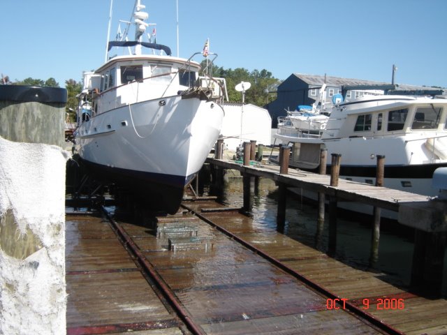
After the Rendezvous, we had Compass Rose hauled out of the water to have the bottom painted. We spent the next four nights at Kim's house. Pam had two Title & Registration seminars to give during the week so we rented a car for John to drive down to Solomons and back.

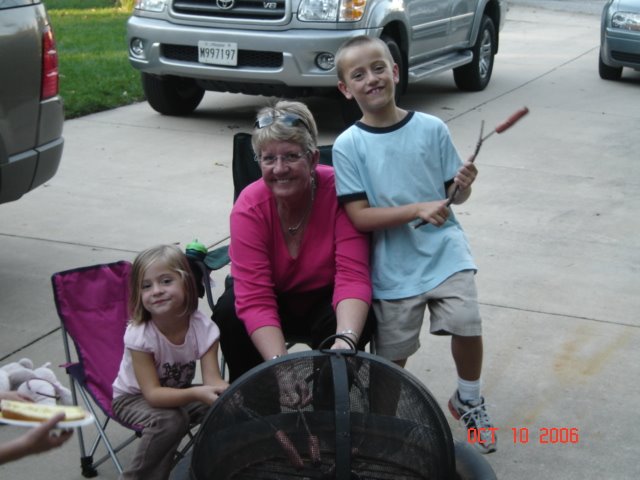
While at Kim's, we had a S'mores party for Carson and Cameron. All the neighborhood kids showed up when they saw the fire.

Krogen Rendezvous Solomons, MD

Here we go again!!

Compass Rose departed Annapolis on October 3rd for our second trip down the ICW and ultimately Marathon, FL.

Solomons, MD is again the site of the annual Chesapeake Fall Rendezvous and again Pam and John are the coordinators.

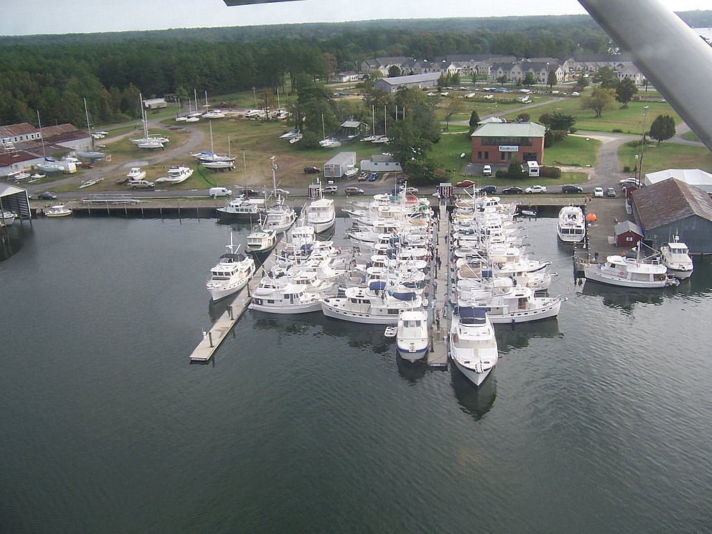
This year's attendance broke all records with over 135 people attending and 45 Krogen's in the marina!! Of course, it was windy and rainy just like last year! But, everyone went with the 'flow' and had a wonderful time.

We then had the boat hauled for bottom painting and commuted back and forth from Kim's house.